El Morro National Monument Half-Day Plan

Maya Lin
Maya Lin is a travel journalist and outdoor enthusiast who believes the best trips combine rugged adventures with urban comforts. After spending six years backpacking across four continents, she founded Trail & Town Guide to help fellow travelers navigate both hidden mountain passes and bustling city neighborhoods with confidence.
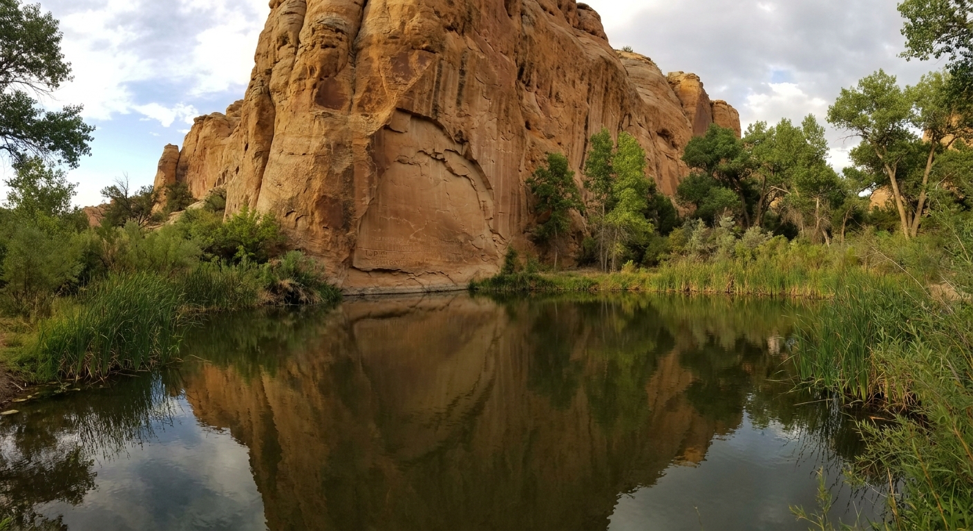
El Morro National Monument is one of those places that feels like a roadside stop until you step onto the sandstone and realize you are walking beside a literal guestbook of the Southwest. For centuries, travelers paused at a rare reliable water source, rested under the bluff, and left their mark. Today, you can read those names and dates, see a thriving oasis at the base of the cliff, and then climb to the top of the mesa for big-sky views that make northwest New Mexico feel endless.
This half-day plan is designed for people threading El Morro between Grants and Zuni, or adding it as a smart detour on an I-40 or Four Corners loop. It keeps the vibe unhurried, protects the resource, and still leaves you time for a late lunch and a good cup of coffee in Grants or Gallup.
Quick orientation
El Morro sits south of I-40 via NM-53, in northwest New Mexico. It is absolutely doable as an add-on, but it is not an exit-and-you-are-there stop. Plan on roughly 55 to 70 minutes from Grants and 60 to 75 minutes from Gallup depending on where you start and road conditions.
The monument is also high. The visitor center area sits at over 7,200 feet, which helps explain why sun exposure, wind, and dehydration can feel surprisingly intense, even on a short hike.
The monument protects two main trail experiences:
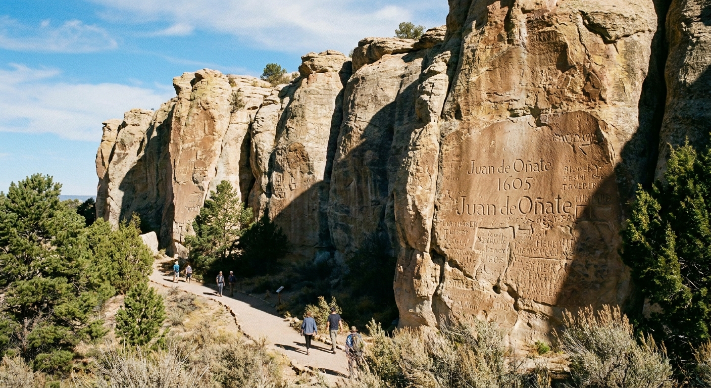
- Inscription Trail: the easy base trail along the sandstone wall and past the pool. It is a short out-and-back style walk (not a big loop), and it is the best way to read the rock slowly.
- Headland Trail: a 2-mile loop that climbs to the mesa top, passes the ancestral Pueblo site of Atsinna, and returns along the base of Inscription Rock. This loop includes the Inscription Trail section along the cliff, so you are not adding 2 miles on top of the base walk.
Give yourself 1.5 to 3 hours depending on whether you do the Inscription Trail only or the full Headland Trail loop, plus how long you like to linger and read.
Your half-day itinerary
Stop 1: Visitor center and conditions check (15 to 25 minutes)
Start inside even if you think you are “just hiking.” It is the fastest way to understand what you are seeing and what is currently sensitive or closed. Ask about:
- Trail conditions after rain or snow, especially if you plan to go up top.
- Wind and thunderstorm timing on the mesa. Lightning is a real risk on exposed routes in monsoon season.
- Current protection rules around the inscriptions and the pool area.
If you are traveling with kids or anyone who is heat sensitive, this is also the moment to adjust your plan. The Inscription Trail is usually the more forgiving option.
Stop 2: Inscription Trail (0.5 miles round trip, 30 to 60 minutes, easy)
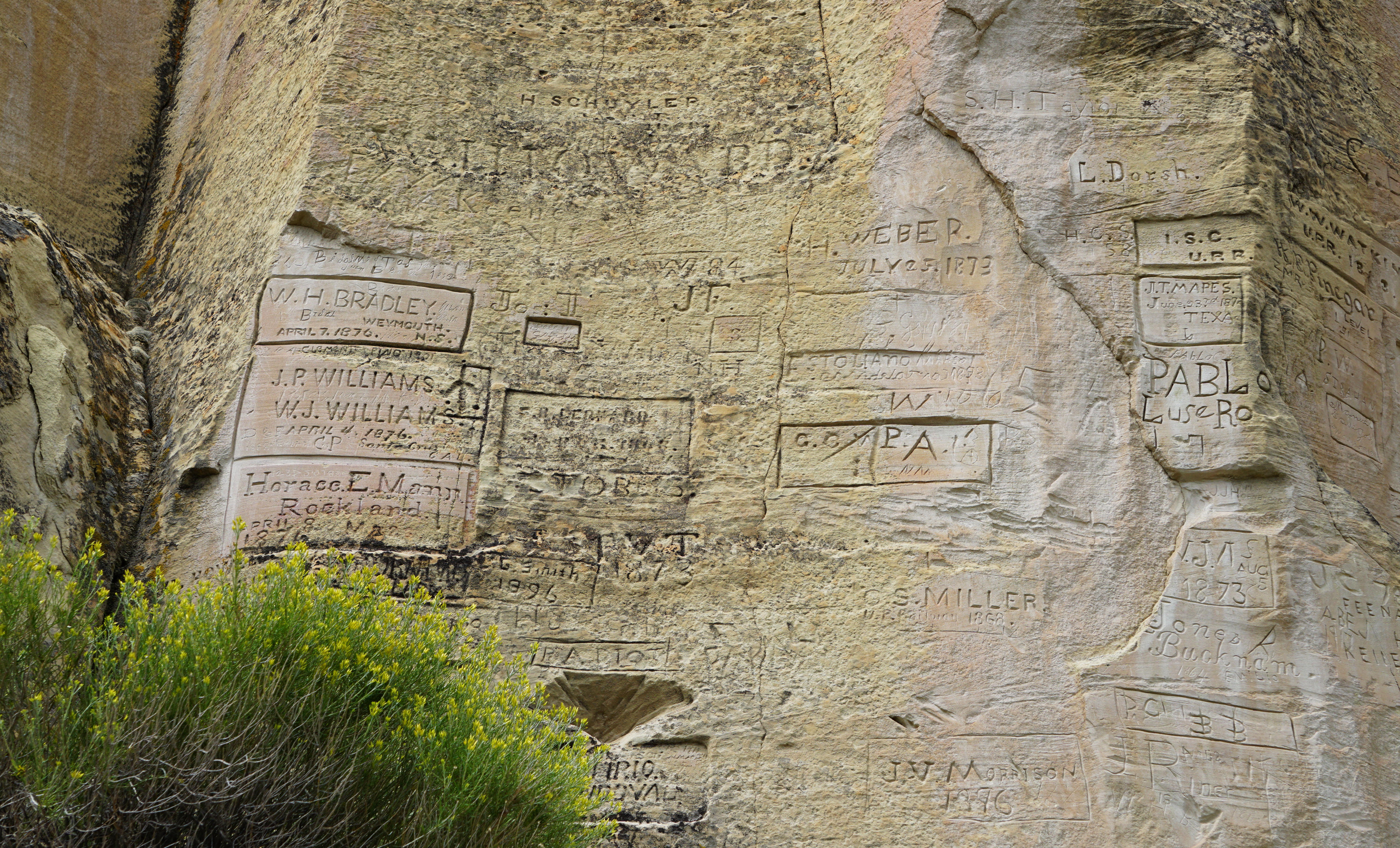
Walk the base trail slowly. This is a read-and-notice kind of hike, not a mileage goal. The inscriptions span multiple cultures and eras, including Indigenous petroglyphs and later historic inscriptions left by Spanish and American travelers. Many people come expecting one style of marking and leave surprised by the layering of time.
Practical pacing tips:
- Go early if you can. Morning light is often friendlier for photos and the temperatures tend to be kinder.
- Build in “reading time.” Plan to pause often, then step aside so others can do the same.
- Use your camera’s zoom. You will get better results and you will not be tempted to lean in close.
Stop 3: Full Headland Trail loop (2 miles total, 1.5 to 2.5 hours, moderate, exposed)
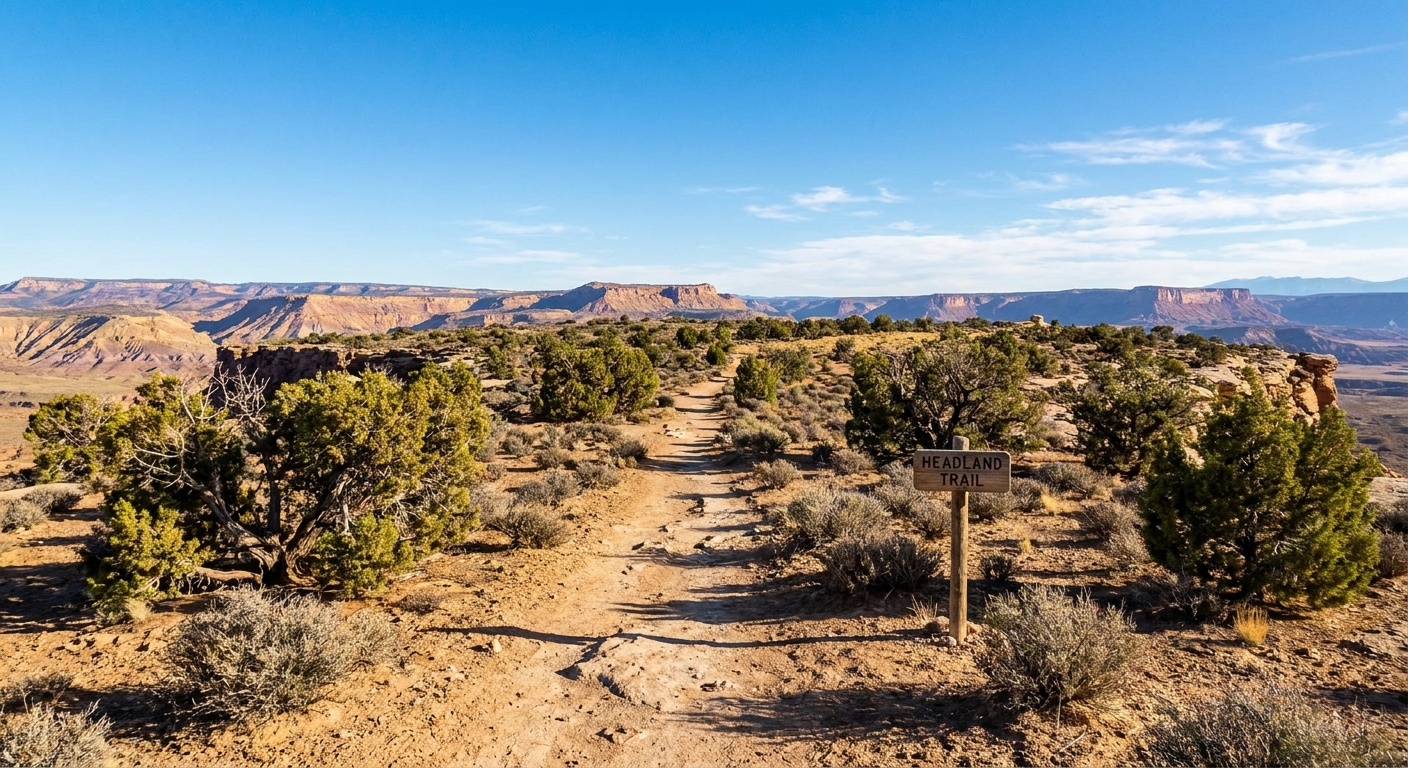
If the weather is stable and you have the energy, the Headland Trail is the move if you want the complete story in one hike. You climb to the mesa top where the wind can feel like it has its own agenda, circle past the ruins of Atsinna, and then come back down to the base of Inscription Rock.
What to know before you commit:
- Exposure is real. There is little shade, and the wind up top can be stronger than you expect from the parking lot.
- Carry more water than you think. High elevation plus dry air can dehydrate you faster than expected.
- Watch footing near edges. Stay on the trail and give the rim space, especially if gusts pick up.
Stop 4: Cool down and a final look (10 to 20 minutes)
After the hikes, circle back for water, restrooms, and one more glance at the cliff. El Morro is the kind of place that looks different after you have been above it. If you brought lunch, this is a good moment for a low-key picnic, then you are back on the road without feeling rushed.
Basics to know
Fees and hours
Fees and operating hours can change seasonally, and occasional closures happen for staffing, weather, or resource protection. Check the official NPS El Morro page the day before you go for the current entrance fee, visitor center hours, and any advisories.
Accessibility
The visitor center area is straightforward. The Inscription Trail is generally the easiest walk in the monument and is a good choice for families and anyone wanting minimal climbing. The Headland Trail involves a sustained climb and uneven surfaces, and it is typically not a good fit for strollers or most wheelchairs.
Pets
Pet rules vary by site and can be specific about trails and buildings. If you are traveling with a dog, confirm the current NPS pet policy before you arrive so you are not forced to skip the hike or scramble in the parking lot.
Water, wind, and altitude
How much water to carry
Northwest New Mexico rewards over-preparedness, and the 7,200+ foot elevation makes dehydration sneakier than people expect. For a half-day with sun exposure, I carry at least 1 to 2 liters per person, more if it is hot, windy, or you are doing the full Headland loop.
Wind on the mesa
The Headland Trail can be breezy to downright blustery. Bring a light layer even in warm months, secure hats, and keep a firm hold on phones and cameras near the rim.
Heat, cold, and storms
- Warm seasons: Start earlier, prioritize shade breaks when you find them, and do not underestimate the drying effect of wind.
- Cool seasons: The mesa top can feel much colder than the base trail. Traction can be helpful if there is lingering ice in shaded spots.
- Monsoon season: If thunderstorms build, skip the exposed mesa top. Lightning and fast-changing weather are not the place to be stubborn.
Photography and respect
El Morro is photogenic in that subtle, texture-and-light way. The trick is getting the shot without impacting the resource or the experience of other visitors.
Do this
- Use zoom or a longer lens to capture inscriptions without stepping close.
- Wait your turn and keep the trail passable while you compose shots.
- Photograph the wider story too: the pool, the cliff line, the plants that thrive at the water’s edge, and the big mesa sky.
Avoid this
- No touching, tracing, or rubbing inscriptions or petroglyphs. Skin oils and abrasion damage the surface over time.
- No climbing on the rock face or stepping off trail to get closer.
- Avoid flash if it disrupts others or contributes to crowding at the wall. Natural light and patience are the better tools here.
If you are posting on social, a small nuance: the inscriptions are along a well-known, obvious trail, so there is no mystery “secret spot” to protect. Instead, avoid encouraging off-trail behavior or showing people doing things that are not allowed, since that is what increases wear on fragile areas.
Reading the wall well
It is easy to treat Inscription Rock like a quirky historic bulletin board. A better frame is to see it as a layered record of movement through a living landscape, with Indigenous presence and meaning that predates the later historic inscriptions by centuries.
When you read the wall:
- Hold multiple timelines at once. Petroglyphs, Spanish-era inscriptions, and later names exist in the same space but come from very different contexts.
- Do not romanticize vandalism. Many inscriptions are historically significant today, but that does not make modern marking acceptable or harmless.
- Let the place be more than a photo stop. Notice why people stopped here: water, shelter, navigation, and community routes.
If you remember one thing: look closely, photograph thoughtfully, and leave the rock exactly as you found it, so the story stays readable for the next person.
From Grants to Zuni
Option A: I-40 detour via NM-53
If you are driving I-40, El Morro is a satisfying break from long highway miles, but you will want to budget real drive time south on NM-53. A common flow is:
- Morning: depart Grants, drive to El Morro, hike the Inscription Trail or the full Headland loop depending on conditions.
- Afternoon: continue toward Gallup for food and fuel, or angle south toward Zuni for a more cultural-focused day.
This works well on a larger New Mexico loop that includes Albuquerque, Bandelier, and the west side of the state.
Option B: Four Corners loop add-on
If you are doing a Four Corners style road trip, El Morro pairs naturally with other northwest New Mexico stops. The monument makes an excellent anchor point because it offers a high-reward hike without the all-day time commitment.
Coffee and food strategy
El Morro is best when you arrive fed and hydrated. I like grabbing coffee and a portable breakfast in Grants or Gallup, then saving a sit-down meal for after the hike. Pack salty snacks. The dry air makes you crave them.
What to pack
- Water: 1 to 2+ liters per person depending on season and trail choice.
- Sun protection: hat, sunscreen, and sunglasses.
- Wind layer: a light jacket or long-sleeve for the mesa top.
- Footwear: grippy walking shoes or light hikers.
- Camera: consider a lens with reach for inscriptions.
- Leave No Trace basics: pack out all trash, including food scraps.
Sample timing
Here are two realistic schedules that fit most road trips.
Plan A: Inscription Trail only (about 1 to 1.75 hours)
- 15 minutes: visitor center
- 45 to 60 minutes: Inscription Trail and pool area, unhurried
- 10 to 20 minutes: water, restrooms, final photos
Plan B: Full Headland Trail loop (about 2 to 3 hours)
- 15 to 20 minutes: visitor center and conditions check
- 90 to 150 minutes: Headland Trail loop including Inscription Rock and Atsinna, with view breaks
- 10 to 20 minutes: cool down, water, snack
Final notes
El Morro rewards travelers who slow down and pay attention. Treat the inscriptions as a shared archive, not a backdrop. Stay on trail, give yourself enough water and time, and let the stop be more than a checkbox between destinations. You will leave with sand-colored memories and a clearer sense of how people have moved through this landscape for a very long time.