Gila Cliff Dwellings Cave Loop Hours and One-Day Plan

Maya Lin
Maya Lin is a travel journalist and outdoor enthusiast who believes the best trips combine rugged adventures with urban comforts. After spending six years backpacking across four continents, she founded Trail & Town Guide to help fellow travelers navigate both hidden mountain passes and bustling city neighborhoods with confidence.
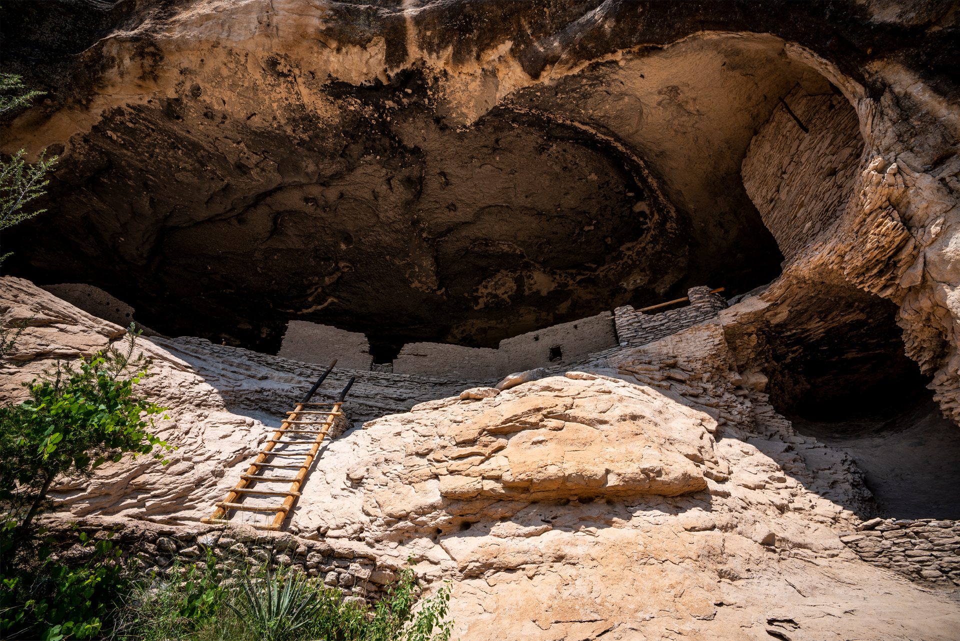
Gila Cliff Dwellings National Monument is one of those New Mexico places that feels like a secret even when the parking lot is full. You drive deeper and deeper into the Gila, the pavement narrows, the radio fades, and then suddenly you are climbing into cool stone rooms where Mogollon families lived and sheltered in the late 1200s, roughly 700 to 750 years ago.
This page focuses on the logistics that actually shape your day: Cave Loop timing and mileage, the ladder and stair sections, when the creek crossings matter, and how to build a realistic one-day plan from Silver City or Truth or Consequences. I will also flag heat, altitude, and remote-road realities so you are not troubleshooting in the middle of nowhere.
Quick facts to know before you go
- What you are doing: A short but steep and stair heavy loop to visit the cliff dwellings inside a large rock alcove, plus an optional spur to an overlook.
- Where it is: Northwest of Silver City in the Gila National Forest, reached by long, winding mountain roads.
- Why timing matters: Ranger led talks and the site’s limited capacity can change the feel of your visit more than the mileage does.
- Expect limited services: Plan for patchy or no cell service and very few food options once you commit to the drive.
Cave Loop mileage and what the hike feels like
The main walk to see the dwellings is the Cliff Dwellings Trail (often called the Cave Loop). It is about 1 mile round trip for the base loop through the dwellings, with an optional overlook spur that adds a bit more distance and climbing.
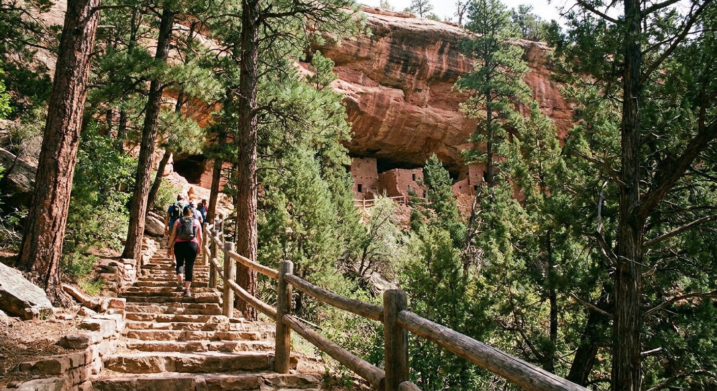
Do not let the mileage fool you. This is a stair and ladder hike, not a stroll. The trail climbs steadily from the parking area up into the canyon alcove, then threads through the rooms on a one-way flow. Surfaces can be uneven, and you will be stepping up and down constantly.
How long it takes
- Fast visit: 45 to 60 minutes if you are moving with few stops.
- Typical visit: 60 to 90 minutes with photos and time inside the rooms.
- Slow and curious visit: 90 minutes to 2 hours if you add the overlook spur and read every sign.
Elevation and effort
The monument sits at moderate elevation in the Gila region, and the climb up to the alcove comes early. If you came from Phoenix, El Paso, or other lower elevations, pace yourself and drink more than you think you need. The canyon shade can make you feel cooler while you are still dehydrating.
Ladders, steep stairs, and who will love it (or hate it)
The dwellings are accessed via steep stair sections and ladder-like structures that help you move between levels and through tight passages. You are essentially walking through an archaeological site that has been made passable, not smoothed out.
What the “ladder” sections are like
- Short and steep: Think brief climbs rather than a single towering ladder.
- Hand use: You will likely want a hand free for rails or rungs, especially on the way down.
- Spacing is tight: Some passages narrow, and you may need to wait for others to clear a section.
Good to know for different travelers
- Kids: Many kids love the adventure vibe, but keep them close. The site has real edges and uneven stone.
- Anyone with knee issues: The down-steps can be the hardest part. Trekking poles are not helpful in the tight interior sections, so consider a knee brace instead.
- Claustrophobia or fear of heights: The loop includes enclosed-feeling rooms and elevated steps. It is manageable for many people, but it is not the place to discover you hate ladders.
Carry-on-only tip: bring a small daypack and keep one hand free. Water bottle in a side pocket beats juggling it on the ladder sections.
Hours and ranger talk timing
Hours and program schedules can vary by season and staffing, so treat the details below as a planning framework, then confirm current times on the National Park Service page or by calling the visitor center before you drive out.
Typical day structure
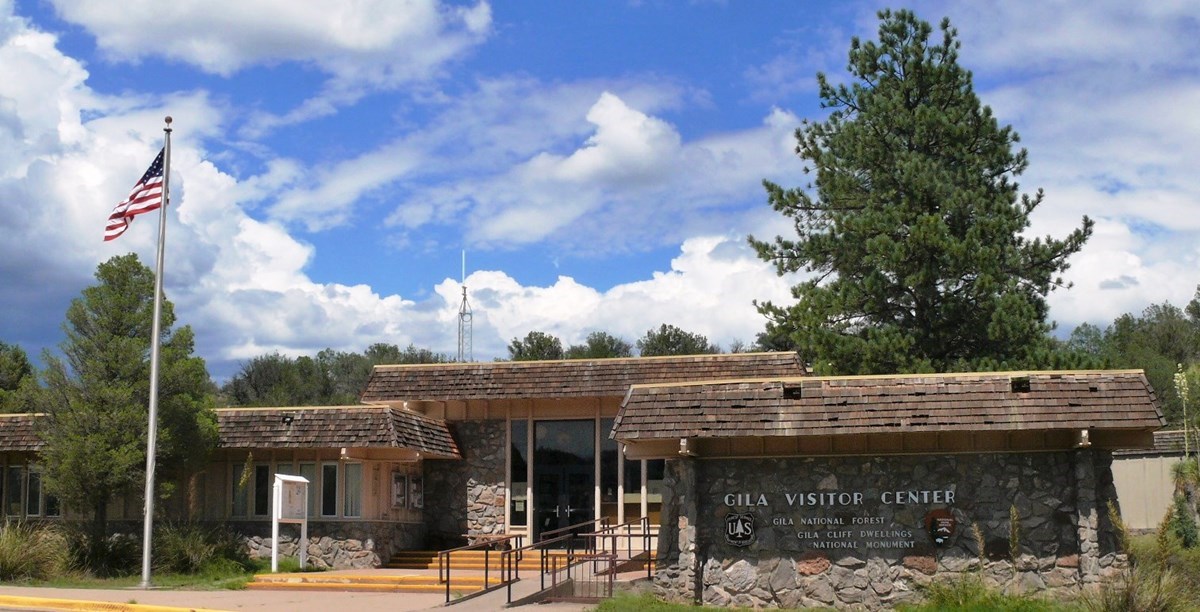
- Visitor center first: Aim to arrive early enough to use restrooms, get current trail and weather info, and ask about program times.
- Ranger programs: Talks are often scheduled around late morning to early afternoon in peak season. If you want the added context, plan your hike around the talk instead of squeezing it in.
- Last entry feel: Even if the grounds are technically open, staff may manage access if the area is crowded or conditions change.
My timing rule of thumb
If you can, arrive at the monument area by mid-morning. You will get cooler temperatures, more parking flexibility, and a better shot at syncing with a ranger talk without feeling rushed.
Creek crossings and seasons
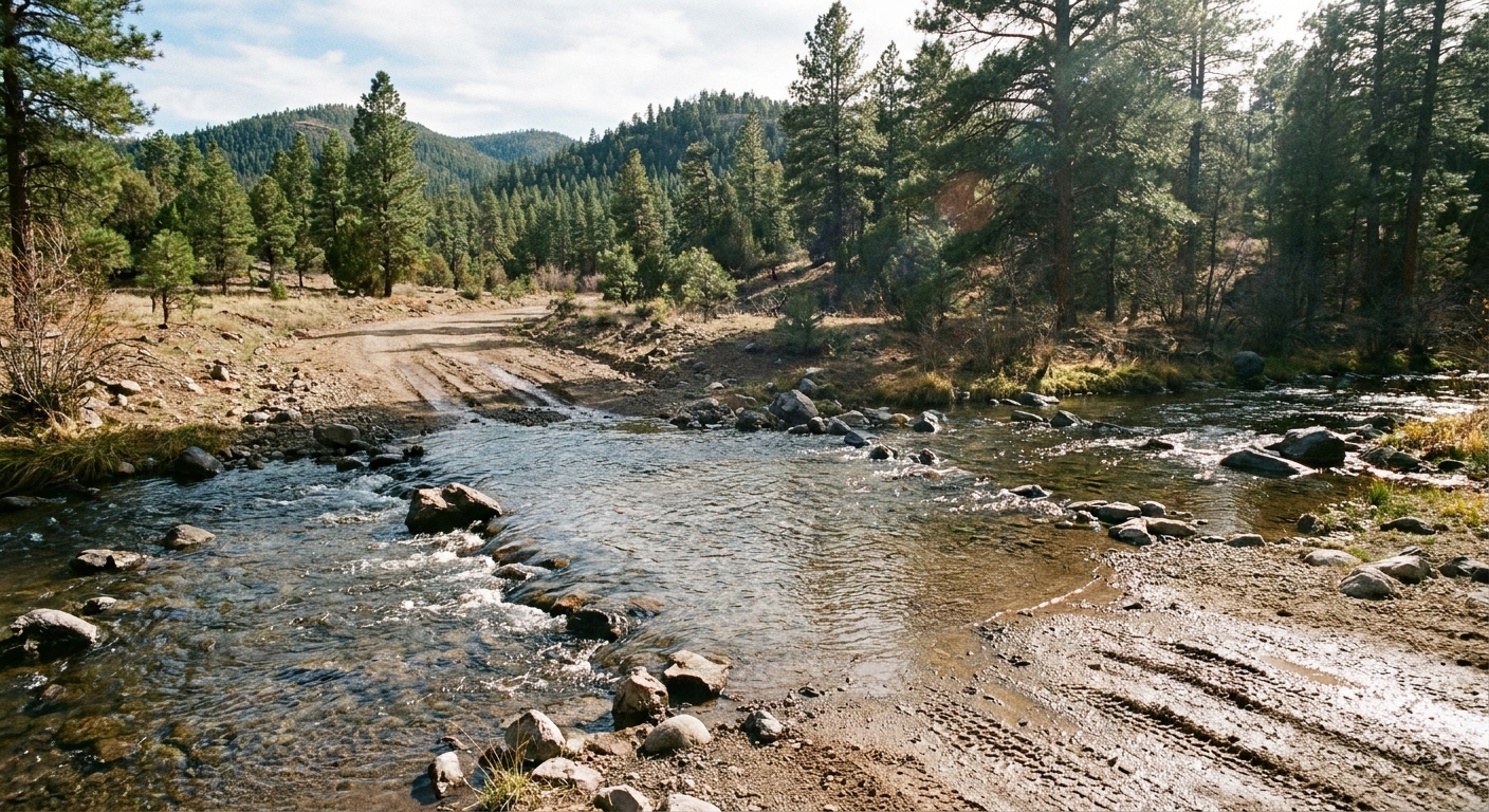
Depending on your exact route in the Gila area, you may encounter low-water crossings on forest roads. Conditions can change fast with monsoon storms and snowmelt. Even when the crossing is shallow, the current can be stronger than it looks.
When it is most likely to be an issue
- Monsoon season (typically mid-summer): Sudden downpours can swell creeks quickly and make dirt roads slick.
- Spring runoff: Snowmelt can keep water levels higher than you expect even on sunny days.
- After storms: Washouts and debris can appear overnight in remote areas.
How to plan smart without overthinking it
- Ask locally: The visitor center and nearby forest service contacts often know which crossings are passable that week.
- Do not count on cell service: Download offline maps before you leave Silver City or Truth or Consequences.
- Have a Plan B: If you are routing through backroads to connect hot springs or trailheads, keep a paved alternative in your pocket.
If your plan sticks to the primary paved approach to the monument, you are generally minimizing risk. The “creek crossing” headaches usually come from linking multiple Gila backcountry stops in one day.
Remote-road cautions
This is southwest New Mexico: gorgeous, empty, and not built for speed. The approach roads are long and winding, and wildlife is not theoretical. From Silver City, most visitors reach the monument via NM-15 and NM-35, a scenic, curvy mountain drive where the map mileage means less than the time.
Driving realities
- Time expands: Map estimates can feel optimistic because curves and elevation slow you down.
- Fuel up early: Top off in Silver City or Truth or Consequences. Do not assume you will find gas near the monument when you want it.
- Watch for deer and elk: Especially near dusk and dawn.
- Bring water and snacks: Enough for delays, not just for the hike.
Road comfort checklist
- Offline maps downloaded (and yes, make sure you have NM-15 and NM-35 saved)
- Full tank and a physical card or cash for small purchases
- Spare layers for temperature swings
- Basic first aid and a headlamp
Heat, altitude, and shade
People think “New Mexico” and picture pure heat. The Gila is more nuanced: warm sun, cooler shade, and elevation that can dehydrate you without the usual sweat signals.
- Start earlier in summer: Not just for comfort, but for safer footing on stairs when you are not overheated.
- Drink on a schedule: A few swallows every 10 to 15 minutes is better than chugging at the end.
- Wear grippy shoes: The steps and interior surfaces are easier with solid traction.
- Respect storms: Monsoon lightning and sudden rain can turn a nice canyon walk into a “why did we do this” moment.
One-day plan from Silver City
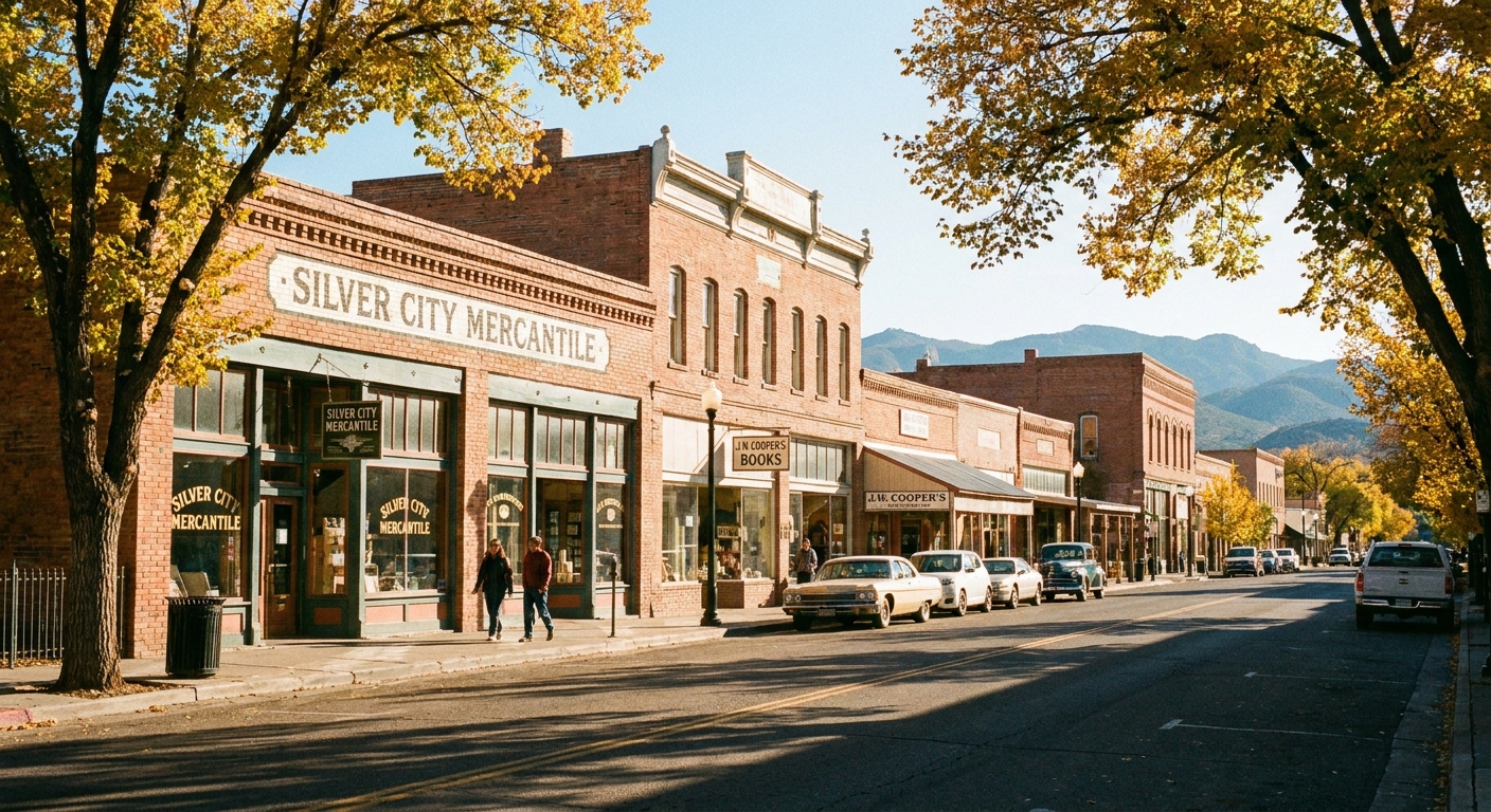
Silver City is the sweet spot if you want a day that mixes archaeology, a real mountain drive, and a good meal or café stop without turning the day into an endurance event. The classic approach is NM-15 to NM-35 (then follow signs into the monument area).
Sample itinerary
- 7:30 am: Coffee and a quick breakfast in Silver City. (Yes, I am that person who plans a day around a good espresso.)
- 8:15 am: Depart for Gila Cliff Dwellings via NM-15 and NM-35. Drive time is typically about 2 hours one way, depending on conditions and stops.
- 10:15 am: Visitor center, check current conditions and ranger program times.
- 10:45 am: Hike the Cave Loop through the dwellings, add the overlook if you feel good.
- 12:30 pm: Picnic lunch or snacks back at the car.
- 1:00 pm: Optional nearby short walk or scenic pullout in the Gila area, keeping your turnaround time realistic.
- 2:30 pm: Start drive back to Silver City.
- 5:00 pm: Late lunch or early dinner in town, then a stroll through galleries or historic downtown.
Where to slot the ranger talk
If a ranger program is offered late morning or early afternoon, do it either right before your loop (so you notice details in the rooms) or right after (so questions are fresh). Build in at least 30 minutes of flexibility either way.
One-day plan from Truth or Consequences
Truth or Consequences (T or C) is a fun base if you want desert skies and hot-springs culture, but it is a longer push to the cliff dwellings. This is doable as a long day, just be honest about your energy and daylight.
Sample itinerary
- 6:30 am: Depart Truth or Consequences with coffee and breakfast packed.
- Mid-morning: Arrive at the monument area. Total drive time is often around 3.5 to 4.5 hours one way depending on route and stops.
- Late morning to early afternoon: Visitor center, ranger program if timing works, then the Cave Loop.
- Mid-afternoon: Begin the drive back. Do not let “it is only a mile” trick you into leaving late.
- Evening: Back in T or C, keep dinner simple and save any soaking for a short, relaxing finish rather than a whole second activity block.
My honest recommendation
If you are starting in T or C and you want the day to feel enjoyable, consider making it a two-day loop with an overnight in Silver City or the Gila area. If you must do it in one, keep stops minimal and avoid driving the curvy sections after dark.
Hot springs nearby
The beauty of this part of New Mexico is that you can go from cliff dwellings to a soak without changing states or vibes. Think of hot springs as your muscle reset after ladders and stairs, not a separate itinerary.
The obvious close option
Gila Hot Springs is about 4 miles down the road from the monument area, which makes it the easiest pairing if you want a soak without committing to a whole additional drive day. If you are building your “one day in the Gila” plan, this is the hot-springs name to have saved in your offline maps.
Other pairing concepts
- If you are based in Truth or Consequences: Visit the dwellings, then do a short evening soak back in town. Keep it simple so you are not adding more driving.
- If you are based in Silver City: Consider hot springs as a different-day add-on, or keep your post-hike recovery low key with a great meal and an early night.
- If you want a wilder option: The broader Gila region has natural, hike-in soaking spots, but conditions, access, and safety can change. Ask locally and do not assume “quick soak” means quick logistics.
Safety note for soak planning
Hot water plus dehydration is a real combo. Rehydrate first, eat something salty, and keep your soak short if you spent the day in sun and altitude.
Leave-no-trace and respect
Cliff dwellings are not just “cool caves.” They are homes and heritage. The site is protected for a reason, and the best visitors are the ones who treat it like a place that still matters.
- Do not touch fragile surfaces: Oils from hands can damage stone and plaster over time.
- Stay on the route: Shortcuts and off-trail steps create long-term impacts fast.
- Keep voices low inside: Sound bounces in the alcove, and a quieter space makes it easier for everyone to absorb the place.
What to pack for the Cave Loop
- 1 to 2 liters of water per person (more in summer)
- Sun hat and sunscreen (even though the alcove is shaded, the approach is not always)
- Snacks or a picnic lunch
- Closed-toe shoes with traction
- Light layer for temperature swings
- Offline maps and a backup battery
If you only do one thing: fuel up, download maps, and arrive with more water than you think you need. The Gila rewards prepared travelers with a day that feels both wild and deeply human.