Million Dollar Highway Drive: Durango to Ouray

Maya Lin
Maya Lin is a travel journalist and outdoor enthusiast who believes the best trips combine rugged adventures with urban comforts. After spending six years backpacking across four continents, she founded Trail & Town Guide to help fellow travelers navigate both hidden mountain passes and bustling city neighborhoods with confidence.
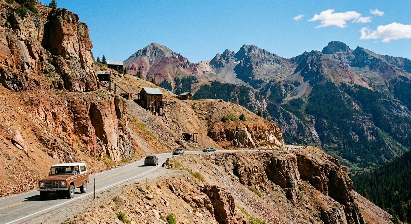
If you have ever wondered why this stretch of US-550 gets whispered about like a secret, drive it once and you will get it. The Million Dollar Highway from Durango to Ouray is part cliff-hugging mountain road, part living museum of mining history, and part cinematic overlook after cinematic overlook. It is also not the place to learn pullout etiquette for the first time.
This guide maps the drive northbound from Durango to Ouray with the most worthwhile photo stops, realistic time estimates, weather cautions for Red Mountain Pass, and a few short hike pullouts that deliver big San Juan views without turning your day into an epic.
Quick facts before you go
- Route: US-550 north from Durango to Ouray via Purgatory, Coal Bank Pass, Molas Pass, Silverton, Red Mountain Pass
- Distance: about 70 miles
- No-stop drive time: roughly 1.75 to 2.25 hours in good conditions
- Realistic scenic time: 4 to 7 hours with viewpoints, Silverton wander, and one short hike
- Road feel: steep grades, tight curves, narrow shoulders, limited guardrails in sections, slow RV traffic
- Best seasons: late June to early October for the easiest mix of access and snow-free pullouts; peak fall color usually mid to late September (varies yearly)
My honest advice: If anyone in your car gets carsick, sit them up front, pack ginger chews, and plan fewer, longer stops rather than constant quick pull-ins.
Safety and etiquette on narrow shoulders
The highway is the attraction, but it is still a working road. A few habits make the day safer and more pleasant for everyone.
Pullout etiquette (the stuff locals wish everyone knew)
- Only stop in signed pullouts or clearly widened shoulders. If your right tires are near the white line, you are probably not fully out of traffic.
- Do not open doors into the travel lane. Passengers should exit curb-side when possible.
- Leave room for bigger vehicles. Some pullouts are designed for a few cars, not a lineup of SUVs parked diagonally.
- Be predictable. Signal early and slow down gradually. Sudden braking on blind curves is where near-misses happen.
- Stay aware of edge conditions. Shoulders can be soft, gravelly, icy, or undercut. If it looks crumbled, it probably is.
- Pack out trash and respect private land. Many “perfect photo rocks” sit near historic mine claims.
Red Mountain Pass weather cautions
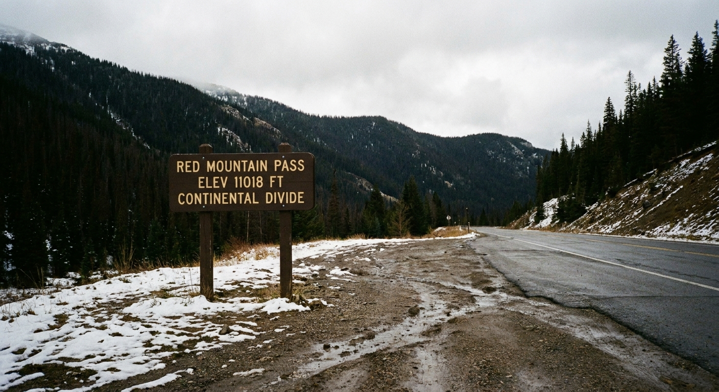
Red Mountain Pass (11,018 ft) is the section that turns a scenic drive into a serious one when weather shifts. Even in summer, storms can bring graupel, hail, or sudden fog that cuts visibility to a few car lengths.
- Check conditions before you leave: use CDOT road condition updates and the forecast for Silverton and Red Mountain Pass, not just Durango.
- Expect temperature drops: it can be 75°F in Durango and 40°F at the passes.
- After rain: watch for rockfall and muddy runoff across the pavement, especially between Silverton and Ouray.
- If you are nervous about exposure: drive in daylight and avoid dusk when shadows hide road-edge details.
Seasonal closures and what “open” really means
US-550 is generally maintained year-round, but winter and shoulder seasons are when plans get scrambled.
- Typical winter reality: The highway is usually open, but it can close temporarily for avalanches, slide mitigation, crashes, or heavy snow, especially around Red Mountain Pass.
- Spring shoulder season: March through May can bring alternating sunny pavement and surprise snow squalls. Mud and rockfall are common as the freeze-thaw cycle ramps up.
- Early summer: Many high trails near passes hold snow into June. Short hikes may still be wet and patchy.
- Fall: crisp days, earlier darkness, and the first meaningful snows can arrive as early as October.
Plan B mindset: If the pass closes while you are on the wrong side, the detour is not a quick hop. Keep fuel above half when traveling in uncertain weather.
Where to fuel and stock up
Gas and food exist on the route, but they are not evenly spaced. I treat this drive like a mini backcountry day: start full, carry snacks, refill when you can.
Best fuel strategy
- Durango: fuel up here for the best prices and options.
- Silverton: usually the most reliable mid-route refuel point, but hours and availability can vary seasonally.
- Ouray: great to top off before exploring the loop toward Ridgway, Telluride, or Montrose.
Tip: If you are towing or driving a heavy vehicle, your mpg will drop on the climbs. Do not gamble on “we should be fine.”
Food and coffee stops (quick, scenic-friendly)
- Durango: grab coffee and a portable breakfast burrito. You will thank yourself on the first overlook.
- Purgatory area: seasonal options near the resort can work for an early break.
- Silverton: the best place for a sit-down lunch or a warm drink if weather rolls in.
- Ouray: reward-town. Hot springs, cozy cafes, and dinner spots with mountain views.
The drive: Durango to Ouray stops and viewpoints
Instead of rigid “mile markers” that can vary by where you reset your odometer, I am laying this out in order northbound with the stops that consistently feel worth it. Build your day by picking 4 to 8 pullouts plus one short hike.
Durango to Purgatory: warm-up views
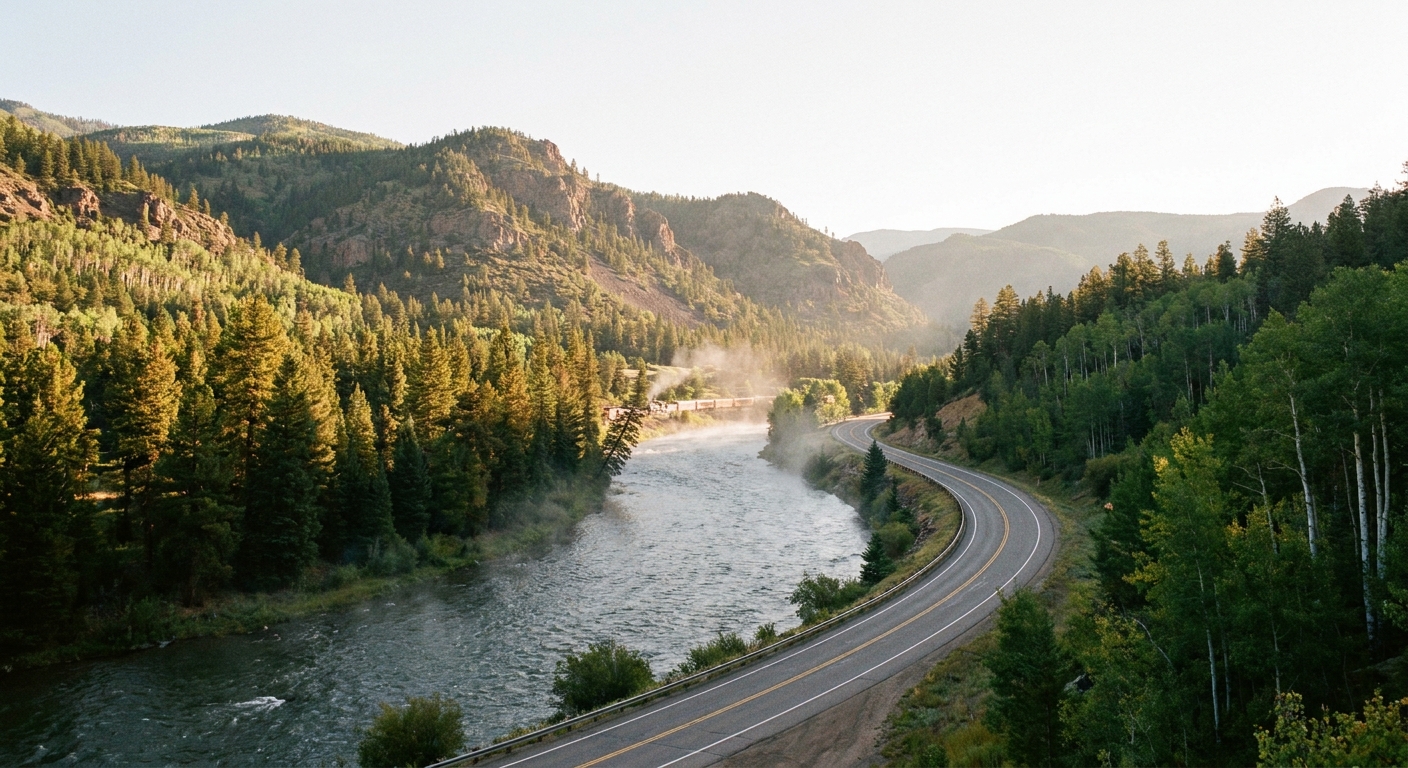
Leaving Durango, the road follows the Animas River valley and starts climbing. This is your gentle introduction before the higher passes.
- Quick photo stop idea: wide river-and-pine views along the Animas. Use established pullouts, not random gravel shoulders.
Coal Bank Pass (10,640 ft)
This is often the first “wow, we are up here” moment. Even without hiking, the air smells like spruce and cold stone.
- Why stop: big ridgeline views and a chance to stretch legs before the next climb.
- Time: 10 to 20 minutes.
Molas Pass (10,910 ft): classic postcard pullout
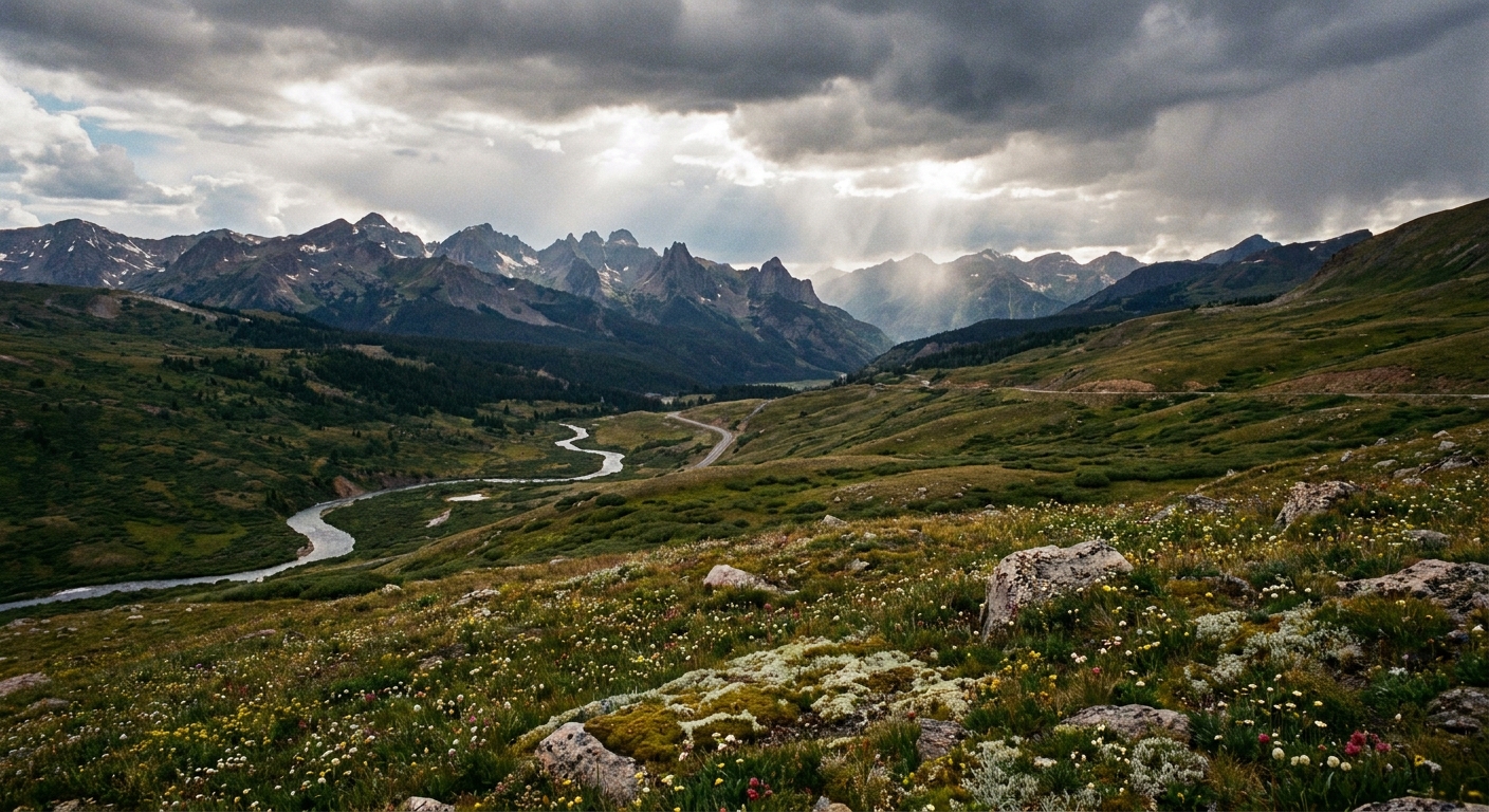
If you stop at only one overlook between Durango and Silverton, make it Molas Pass. The view opens into a sweep of peaks and valleys that feels more alpine than Colorado should be allowed to look.
- Why stop: expansive San Juan panorama, especially gorgeous at sunrise or late afternoon.
- Time: 15 to 30 minutes.
- Notes: wind can be intense. Keep a layer handy even in July.
Little Molas Lake (easy bonus stop)
Just off the highway, Little Molas Lake is a low-effort way to add a calm, reflective scene to a day of cliffs and switchbacks.
- Why stop: still water, wildflowers in summer, quick leg stretch.
- Time: 20 to 45 minutes.
Silverton (9,318 ft): the best mid-drive reset
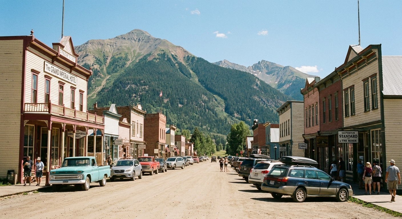
Silverton is a former mining town turned mountain basecamp with enough grit left to feel real. If you want one place to slow down, browse a shop, and eat something hot, this is it.
- Do: walk the main street, grab lunch, refill water, check the latest pass weather.
- Good for: families, anyone white-knuckling the drive, and coffee seekers.
- Time: 45 minutes to 2 hours.
Silverton to Red Mountain Pass: the dramatic section
This is where the highway earns its reputation. You will see waterfalls, red-stained slopes, old mine structures, and views that look like a movie set. It is also where stopping safely matters most.
- Driving note: expect slowdowns. Many curves are blind, and some pullouts appear suddenly.
Red Mountain Pass (11,018 ft)
At the pass, you are surrounded by high, sharp terrain that holds weather like a grudge. If skies are building, this is a smart place to take stock before committing to the descent.
- Why stop: high-elevation viewpoints, quick photos, deep breaths.
- Time: 10 to 20 minutes.
Red Mountain Pass to Ouray: Uncompahgre Gorge
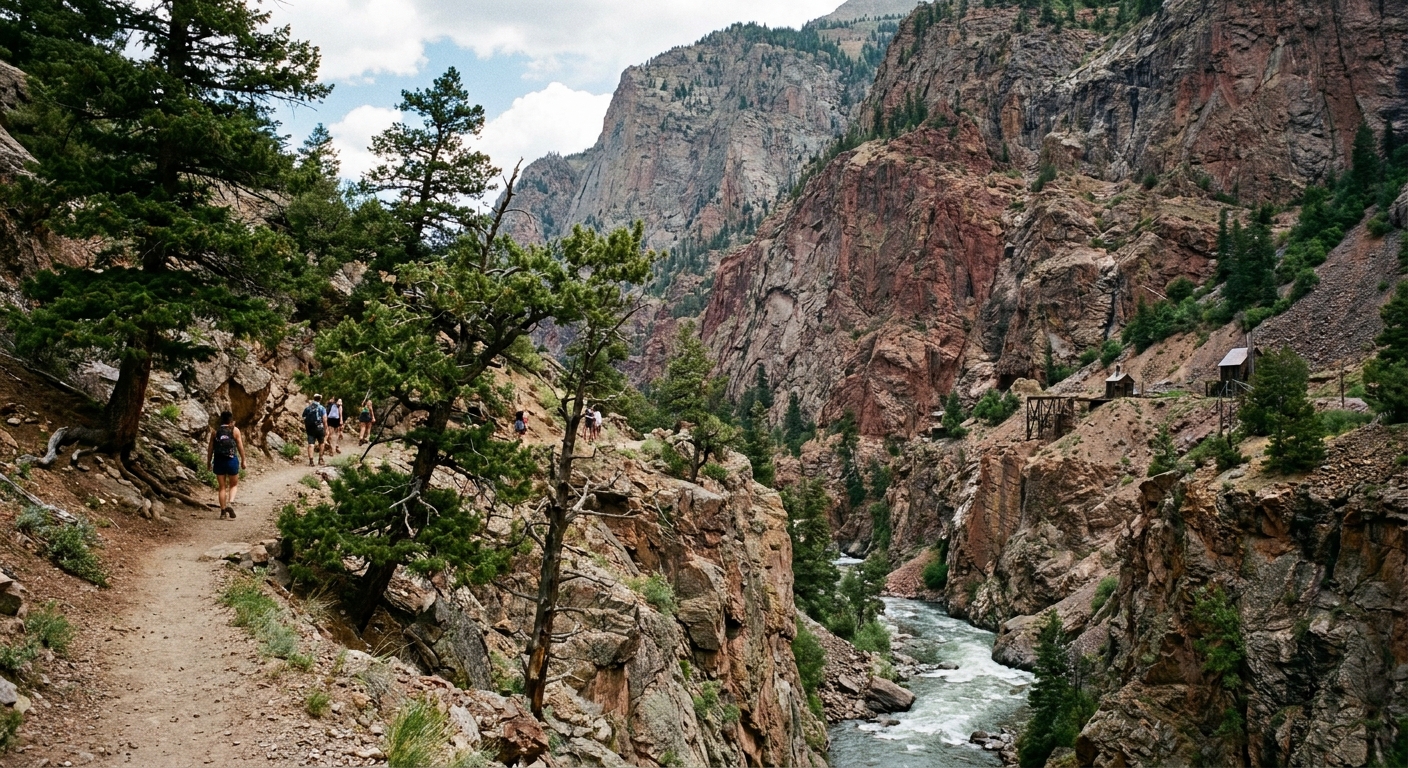
The descent toward Ouray stacks views fast: steep canyon walls, cascading water, and the kind of drop-offs that make you grateful for steady hands. This stretch through the Uncompahgre Gorge is the famous guardrail-light (and sometimes guardrail-free) part of the Million Dollar Highway. Take it slow, use turnouts to let faster drivers pass, and enjoy arriving in a town that feels tucked into the mountains like a secret.
Short hikes with big payoff (pick one)
These are vetted, time-friendly options that pair well with a drive day. Conditions change quickly in the San Juans, so treat distances and difficulty as estimates and always check recent trail reports when possible.
Bear Creek Trail (near Ouray)
If you want a true “I hiked today” feeling without a half-day commitment, Bear Creek is a great choice. It climbs fast and rewards you with canyon views and that invigorating waterfall air.
- Best for: waterfall lovers, sunset hikers, anyone spending the night in Ouray.
- Time: 1 to 2.5 hours out-and-back depending on turnaround point.
- What to know: it is steep in sections. Wear real shoes and watch your footing on loose rock.
Andrews Lake Trail (near Molas Pass)
If you want a quiet, stretch-your-legs hike near Molas Pass, this is the one. Andrews Lake gives you an alpine lake scene without needing a full-day plan, and it feels like a different world a few minutes off the highway.
- Best for: midday hikes, warm days, anyone who wants lake-and-peak scenery with minimal fuss.
- Time: 45 minutes to 2 hours depending on how far you wander.
- What to know: early season can be muddy or snow-patched. Bring a layer, the lake breeze is real.
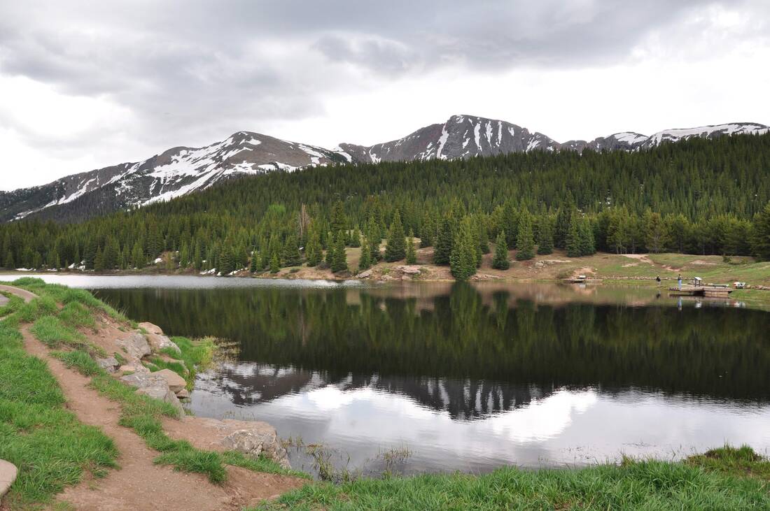
Optional: quick lake stroll at Little Molas
If you are traveling with kids, a dog, or anyone who is not thrilled about steep trails, the lake area is the easiest nature win of the day.
- Time: 20 to 45 minutes.
- What to know: afternoons can bring thunder. If you hear rumbling, head back to the car.
Time-saver rule: On this highway, one good hike beats three rushed ones. Choose a single trail that fits your energy and daylight, then linger at the best overlook without rushing.
Suggested itineraries
If you have 4 hours
- Durango coffee and fuel
- Molas Pass overlook
- Silverton quick walk and snack
- Red Mountain Pass stop (weather permitting)
- Arrive Ouray
If you have 6 to 7 hours
- Coal Bank Pass and Molas Pass
- Little Molas Lake
- Silverton lunch
- Short hike: Andrews Lake or save energy for Bear Creek near Ouray
- Red Mountain Pass and a few safe pullouts on the descent
If you are staying overnight in Ouray
- Do the drive with plenty of photo stops
- Check in, then hike Bear Creek in late afternoon
- End at the Ouray Hot Springs Pool for the ultimate “town comfort” finish
What to pack
- Layers: light puffy or fleece, rain shell, hat
- Footwear: grippy sneakers or hiking shoes for quick trails
- Water and snacks: especially if you get stuck behind road work or weather
- Offline maps: service can be spotty in stretches
- Sun protection: high elevation sun hits harder than you expect
- Small trash bag: easy pack-out
Where to stay: Durango vs Ouray vs Telluride
All three are excellent, but they suit different trip styles.
- Durango: best if you want a bigger town feel, more restaurant variety, and easy access to Mesa Verde and the Animas River corridor.
- Ouray: best for hot springs energy, dramatic canyon setting, and quick access to waterfalls and jeep roads. It feels like a mountain village wrapped in cliffs.
- Telluride: best if you want a polished ski-town vibe, festivals, and a walkable box canyon setting. It is not on US-550, so it pairs well as a side trip rather than a stop on the main drive.
If your main goal is the Million Dollar Highway itself, sleeping in Ouray gives you the most satisfying finish: you arrive straight into a mountain amphitheater and can soak or hike after the drive.
Leave no trace
This corridor gets loved hard in summer. A few simple choices keep it wild and welcoming.
- Use established pullouts and trails, not new social paths.
- Never toss food scraps. It changes wildlife behavior fast.
- Keep noise down at overlooks. Let the wind and water do the talking.
- If a pullout is packed, skip it. The next one will be spectacular too.
Final notes
The Million Dollar Highway is not about speed. It is about letting the San Juans unfold at their own pace, then rolling into a town that can feed you well and hand you a great cup of coffee. Start early, stop often but safely, and give yourself permission to turn around if weather goes sideways.
If you do it right, you will arrive in Ouray with a full camera roll, tired legs from one perfect short hike, and that rare road trip feeling: we saw something special today.