Pratt Lake From the Granite Mountain Trailhead

Maya Lin
Maya Lin is a travel journalist and outdoor enthusiast who believes the best trips combine rugged adventures with urban comforts. After spending six years backpacking across four continents, she founded Trail & Town Guide to help fellow travelers navigate both hidden mountain passes and bustling city neighborhoods with confidence.
There are trailheads that feel like secrets, and then there is Exit 47 on I-90: a busy little ecosystem of hikers lacing boots, dogs doing pre-hike zoomies, and someone inevitably realizing their water bottle is still on the kitchen counter.
This is also where a lot of confusion starts, because Pratt Lake and Granite Mountain use the same Exit 47 access point and closely connected parking/trailhead area. Depending on which map app you use (and which lot you end up in), you might see it labeled as “Granite Mountain Trailhead,” “Pratt Lake Trailhead,” or some variation that makes it sound like two separate places. In practice, you are entering the same high-use trailhead complex and starting on the same signed trail network.
If you came here for Pratt Lake, you are in the right place. You just need to make the correct choice at the junction where Granite Mountain breaks off.
Quick stats
- Trailhead: I-90 Exit 47 (shared access for Pratt Lake and Granite Mountain)
- Destination: Pratt Lake
- Distance: Roughly 11 miles round trip (expect small variations depending on where you park and how much you wander at the lake)
- Elevation gain: Roughly 2,300 to 2,600 feet (varies by track and minor route choices)
- Difficulty: Moderate to moderately strenuous due to steady climbing and a long-ish day
- Dogs: Typically allowed on leash on this part of the Mount Baker-Snoqualmie National Forest, but always verify current rules on the trailhead signboard (and be ready for seasonal or site-specific restrictions)
- Pass: Pass requirements can change between lots and over time. Check the trailhead signboard for the current fee/pass program before you display anything
Parking at Exit 47
When people say they are hiking from the Granite Mountain Trailhead, they often mean the same place you are parking for Pratt Lake. Exit 47 is a single, high-use trailhead area serving multiple routes.
My rule here: arrive early. A sunny weekend can turn the parking situation into an Olympic sport before mid-morning, and cars that do not fit neatly in the lot end up doing awkward roadside things that block traffic and stress everyone out.
Overflow etiquette: if you end up parking outside the main lot, do not block gates, driveways, or shoulders marked No Parking. If it feels sketchy or tight, it probably is.
Facilities: expect basic trailhead signage and a high-use vibe. Restroom availability can change at corridor trailheads, so do not treat an outhouse as guaranteed. Plan accordingly before you exit the freeway. Also assume no potable water at the trailhead unless a sign specifically says otherwise.
Cell service: it can be spotty once you are off the highway and in the trees. Download your map for offline use before you pull in.
The key junction
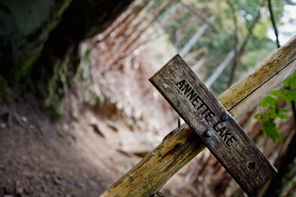
From the parking area, follow signs for the Pratt Lake Trail. The early walking is classic western Cascades: mossy, green, and damp-smelling in the best way.
You will reach the main decision point where the Granite Mountain route branches away from the Pratt Lake route. Budget roughly 0.8 to 1.2 miles from your car to this junction, depending on which part of the parking/trailhead complex you started from.
On most outings, you will notice the split because:
- It is a high-traffic junction with a clear signboard
- One direction starts feeling more like “up, immediately” (Granite Mountain)
- The other direction continues as the Pratt Lake line
For Pratt Lake, stay on the Pratt Lake Trail and continue straight past the split. If you find yourself committing to a steeper, more direct grind right away, pause and confirm you did not accidentally join the Granite Mountain crowd.
Route to Pratt Lake
Trailhead to the junction
The first stretch is a warm-up through forest, with a steady grade that feels forgiving at first. On busy days, you will hear the Granite Mountain crowd drifting off at the split while the Pratt Lake hikers keep the quieter line onward.
The middle climb
Once you commit to Pratt Lake, the hike turns into a satisfying, steady climb with occasional rocky footing and rooty steps. You gain most of your elevation in this middle portion, and it can feel deceptively long because the trees keep you tucked in for a while.
Water on trail: there is often seasonal water in this general corridor (especially in spring), but it is not something I plan my entire day around. Carry what you need for the climb, and treat or filter anything you collect.
If you are timing this as a half-day adventure, plan for a consistent pace rather than a sprint. This is a trail where going too hard early makes the last couple of miles feel longer than they need to.
Final approach
As you near Pratt Lake, the air often cools and you start to notice more openings in the trees and a shift in terrain. In shoulder seasons, expect slick roots, mud, and wet rock. Snow can linger into late spring, and in bigger snow years it can hang around into early summer.
Then the shoreline appears, and everything softens: the light, the sounds, and usually the mood of every hiker who reaches the water.
What the lake is like
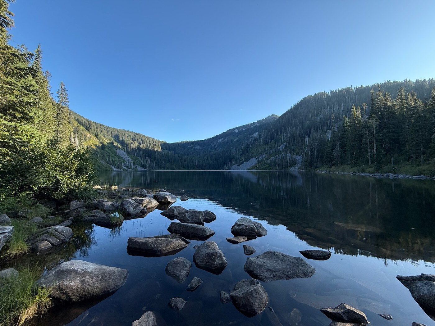
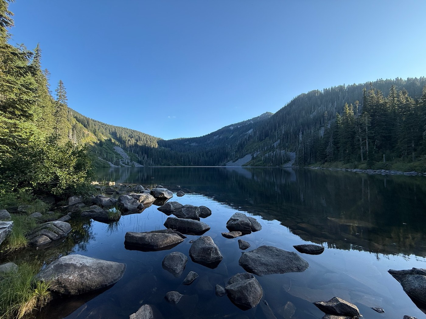
Pratt Lake is the kind of destination that feels earned. It is large enough to give you room to spread out, but intimate enough that the surrounding ridgelines still feel close. On calm days, the reflections are gorgeous. On breezy days, it gets that slate-blue texture that makes you want a hot drink and a long break.
Expect:
- Shoreline spots for a break: some are more durable than others. Choose established areas and avoid expanding the “hangout zone” into fragile vegetation
- Cooler temperatures: even when the parking lot is warm, the lake can feel noticeably cooler
- Bugs: mosquitoes can be intense in summer. Bring repellent and consider long sleeves
- Curious wildlife: chipmunks and jays are bold around popular lakes. Keep your food secured during breaks
Water note: there is water in the Pratt Lake basin, but treat or filter anything you drink. Do not assume “clear mountain water” means safe mountain water.
Mileage and elevation
Because this trail shares a starting area with other routes and people record tracks differently, you will see slightly different numbers across apps and trip reports. For planning, I budget for:
- Distance: about 11 miles round trip
- Elevation gain: about 2,300 to 2,600 feet
If you want the cleanest baseline, think “Pratt Lake as an out-and-back from the Exit 47 trailhead area.” Extra wandering at the lake, alternate shoreline pokes, and different parking positions are where most of the variation comes from.
If you are new to I-90 hikes, the combination of steady grade and variable footing can make this feel harder than the raw numbers suggest. Comfortable footwear and trekking poles go a long way, especially on the descent.
When to go
- Late spring to early fall: best odds for snow-free trail and pleasant lake time, though mosquitoes ramp up in summer
- Shoulder seasons: fewer people, moodier forest, and a higher chance of mud, slick roots, and lingering snow
- Winter and early spring: conditions can be serious. Navigation gets more committing when the trail is buried, and avalanche terrain may exist on or near some slopes in the broader Snoqualmie Pass area depending on route and conditions. Only attempt with solid snow travel skills and the right gear
Whatever the season, check recent trip reports and weather before you commit. I-90 is close to Seattle, but the trail can still feel like the backcountry when visibility drops, snow lingers, or temperatures swing.
Packing list
I pack for day hikes the same way I pack for flights: light, organized, and with zero patience for “maybe I will need this random brick.” Here is what I consider the non-negotiable set for Pratt Lake:
- Water: enough for a steady climb and a warm day, plus an electrolyte option
- Food: lunch and at least one extra snack you do not want to share
- Layers: a warm layer even in summer, and a rain shell
- Navigation: map app offline, plus a backup plan
- Sun and bug protection: sunscreen, sunglasses, and repellent
- Footing help: trekking poles if your knees are not fans of long descents
- First aid and basics: blister care, headlamp, and the small stuff that turns an inconvenience into a non-event
- Leave No Trace basics: pack out all trash, including food scraps
Leave No Trace
Pratt Lake is popular for a reason, and that is exactly why it needs extra care.
- Stick to established break spots instead of creating new shoreline clearings
- Skip fire rings and do not add rocks to existing ones
- Bathroom plan: use a trailhead restroom if it is available. If not, follow current forest guidance for human waste disposal and stay well away from water
Camping notes
Even if you are hiking this as a day trip, people do camp in the general Pratt Lake area. Rules can change based on season, impacts, and management decisions, so treat this as a check-before-you-go item. If you are considering an overnight, confirm the current camping rules and any permit requirements for the Pratt Lake area on official postings and the trailhead signboard.
Granite Mountain split
One last time because it is the whole point of this page: the Granite Mountain route branches away at the main junction around the first mile. If your goal is Pratt Lake, continue straight on the Pratt Lake Trail.
If your goal is Granite Mountain Lookout, use our Granite Mountain guide for the correct route details and preparation tips. Same access point, different adventure.
FAQ
Is Pratt Lake the same hike as Granite Mountain?
No. They share the Exit 47 access point and a closely connected trailhead area, and you will see both names used for the same general parking zone depending on signage and apps. The routes split at the junction. Granite Mountain heads off toward the lookout, while Pratt Lake continues on the Pratt Lake Trail.
How hard is Pratt Lake from Exit 47?
It is moderate to moderately strenuous. The climb is steady and the round-trip distance is long enough that pacing matters.
Can I swim at Pratt Lake?
People do on hot days, but expect cold water even in summer. Treat it like a quick dip, not a long leisurely soak.
Is this a half-day hike?
Fast hikers can do it in a half day, but most people will have a better time treating it as a full day so you can actually enjoy the lake instead of tagging it and turning around immediately.