The Manitou Incline: Grade, Access, and the Walk Down

Maya Lin
Maya Lin is a travel journalist and outdoor enthusiast who believes the best trips combine rugged adventures with urban comforts. After spending six years backpacking across four continents, she founded Trail & Town Guide to help fellow travelers navigate both hidden mountain passes and bustling city neighborhoods with confidence.
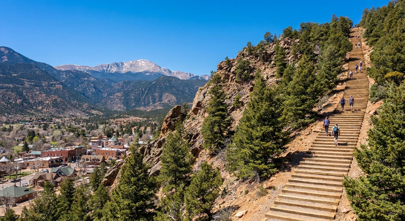
The Manitou Incline is one of those Colorado workouts that sounds like a dare and feels like one once you are on it. I grew up hiking the Front Range, and I still find the Incline uniquely humbling because it is not really a “trail” in the relaxing sense. It is a staircase built from an old rail line, pointed straight up the mountain, with zero interest in easing you into it.
If you are deciding whether to go for it, there are three things to understand upfront: the grade is relentless, access rules can change seasonally, and the safest, most pleasant way down is the Barr Trail.
Trail basics
- Location: Manitou Springs, just west of Colorado Springs.
- Route: up the Incline, then down the Barr Trail is the standard.
- Elevation gain and distance (Incline only): commonly cited around 1,900 to 2,000 feet in about 0.9 miles, depending on the source and where measurements start and end.
- Base elevation: roughly 6,300 to 6,600 feet, so yes, you feel the altitude early.
- Dogs: policies can change. Check the City of Manitou Springs rules before you assume dogs are allowed on the Incline or on your planned descent.
If you are doing the classic up-and-down (Incline up, Barr Trail down), plan for a longer day than “one mile” sounds. The descent adds real time and distance.
How steep is the Manitou Incline?
Steep enough that your calves will start negotiating with your brain.
The Incline climbs fast. Because it is a stairway instead of a smooth dirt path, the effort feels punchier than a hike with the same stats.
Grade in plain English
- Average grade: commonly cited in the high 30 percent range.
- Max grade: frequently cited in the 60 to 70 percent range in the steepest pitches, which is where it starts to feel less like hiking and more like work.
- Steps: totals vary with repairs and reroutes. You will often hear “around 2,700,” and a frequently quoted number is 2,744.
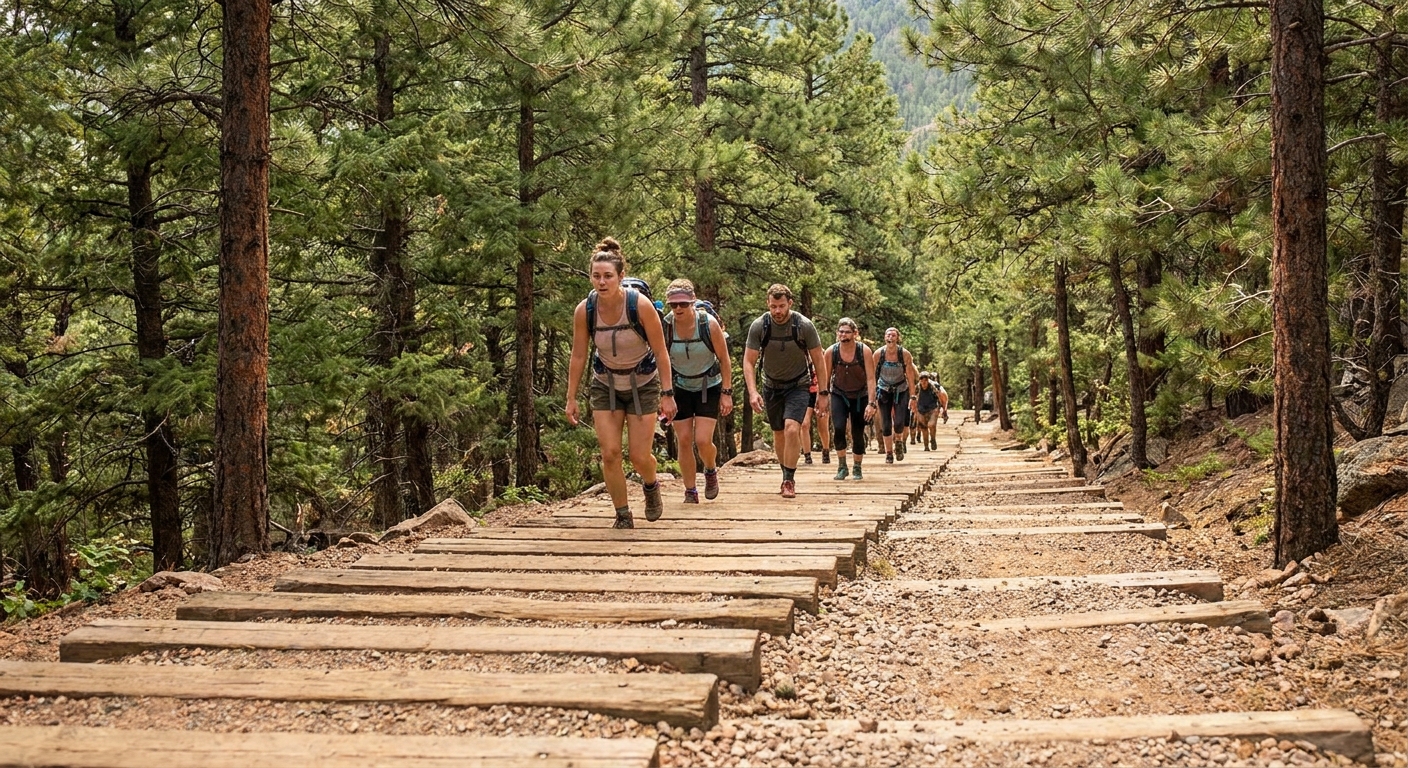
What those numbers mean on the ground: you are stepping up continuously, and the steps vary in height and spacing. Some are comfortable, some are awkwardly tall, and a few are placed in a way that forces you into a mini lunge.
How long does it take?
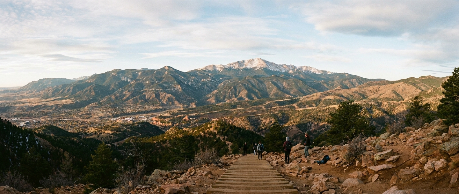
Time depends on fitness, altitude, and how often you stop to breathe and admire the view over Manitou Springs and Colorado Springs.
- Fit, acclimated hikers: about 45 to 90 minutes up is common.
- First-timers or visitors from lower elevation: 1.5 to 3 hours is not unusual, especially with breaks.
Altitude note: the base is already roughly 6,300 to 6,600 feet. If you flew in yesterday, expect your heart rate to spike early.
Reservations and access
Reservation systems and trailhead logistics for the Incline have changed over the years, and they can change again due to staffing, weather impacts, and crowd management. Before you build your day around it, confirm the current rules with the City of Manitou Springs and the Incline’s official pages.
What may be required
- Timed entry reservations: may be required at certain times or seasonally. If so, you pick a start window and show proof at the trailhead.
- Group size limits: may apply. If you are traveling with a bigger crew, you might need to split times.
- Waivers and closures: temporary closures happen for maintenance, icy conditions, or storm damage.
Parking and getting to the trailhead
Manitou Springs is tight on space, and the Incline is popular. Plan on remote parking and using a shuttle if that is what the city is running the day you visit. Even if you are staying nearby, do not assume you can roll up and find a spot next to the trailhead.
- Arrive early for your time slot so you are not sprinting to check in.
- Have a backup plan in case weather shuts things down.
- Expect limited or no services right at the base. Bring what you need.
My rule: screenshot your reservation and directions before you leave your hotel. Cell service can be inconsistent in pockets around town and on the mountain.
Who should turn around
I love a challenge as much as anyone, but the Incline rewards good judgment more than bravado. Turning around is not failing. It is choosing to hike another day.
Consider skipping it if
- You have knee, ankle, or hip issues that stair climbing aggravates.
- You are not acclimated and already feel dizzy or nauseated at the base.
- You are traveling with someone who is not comfortable with steep, continuous climbing.
- Weather is actively sketchy. Lightning and wind up high are real hazards.
Turn around immediately if you notice
- Chest pain, faintness, confusion, or severe shortness of breath that does not improve with rest.
- Unsteady walking or a “tunnel vision” feeling.
- Sudden weather shift that brings thunder, hail, or aggressive wind.
Smart turnaround moments
The Incline does not have official “halfway” milestones that feel universal, but practically, these are good decision moments:
- Early burn: If you feel wrecked in the first 10 to 15 minutes, listen to that. It usually gets harder.
- When your form falls apart: If you are shuffling, tripping, or lunging just to clear the next step, you are more likely to eat it.
- Before the steepest upper stretch: The last portion can feel brutally vertical. If you are already near your limit, call it.
If you do turn around, do it carefully. Downclimbing the Incline itself is not recommended for most people because it is steep, crowded, and hard on knees.
The walk down: Barr Trail
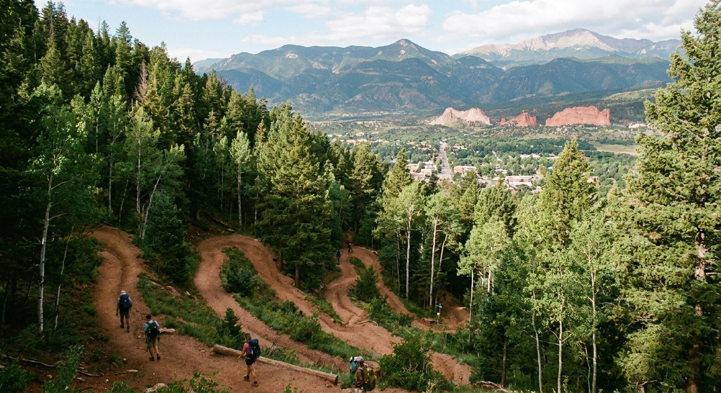
For most hikers, the standard move is: up the Incline, down the Barr Trail. The Barr Trail is a real dirt trail with switchbacks that takes pressure off your knees compared to trying to descend the steps.
What the descent is like
- Surface: dirt, gravel, and rocky sections. Trekking poles help if you have them.
- Grade: still downhill the whole way, but far more manageable than the staircase.
- Time: a typical range is about 1.5 to 3 hours down. Very fit hikers can be faster, and slower days happen with long breaks or tricky conditions.
The descent is also where you can actually look around. You get forest, big views, and the satisfying feeling of being on a classic Colorado mountain trail instead of a vertical gym stairwell.
How to connect to Barr Trail
At the top of the Incline, you will see signage and footpaths leading into the woods. Follow signs for the Barr Trail heading down toward Manitou Springs. If you are unsure, ask another hiker before you commit, since multiple social trails crisscross the area.
Where you end up
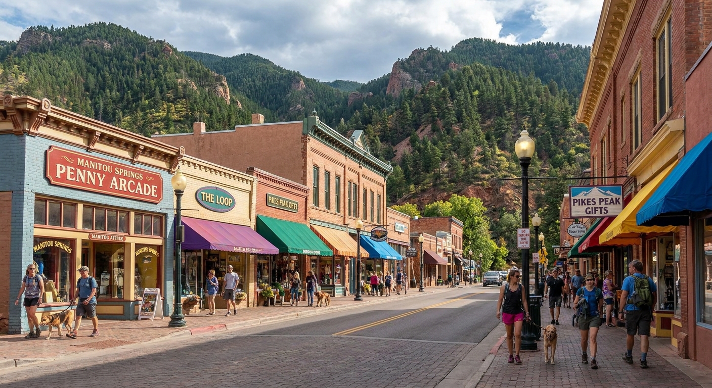
The Barr Trail descent brings you back toward town and the Incline area, but do not expect to pop out exactly where you started without any road walking. Plan for a short walk back through Manitou Springs to wherever you parked or caught a shuttle.
Why the walk down matters
Most Incline injuries happen when people are fatigued and rushing a descent. Give the walk down the same respect you give the climb up.
- Refuel at the top or shortly after starting down: water plus a salty snack goes a long way.
- Watch your footing on loose gravel, especially if it is wet.
- Leave enough daylight. The trees can make it feel darker earlier than you expect.
What to bring
This is not a summit expedition, but it is also not a casual stroll. A small kit keeps the day fun.
- Water: at least 1 liter, more in heat.
- Snack: something you will actually eat when you are winded, like an energy bar or trail mix.
- Layers: a light wind layer makes a difference at the top.
- Grippy shoes: trail runners are perfect. Avoid slick soles.
- Sunscreen and sunglasses: even when the base feels shady.
- Trekking poles: optional, but great for the Barr Trail descent if your knees complain.
If you are traveling from out of state, this is one of those altitude-plus-effort combos where hydration the day before matters more than people think.
When to go
To stack the odds in your favor, aim for cooler temps and lighter crowds.
- Early morning: best for heat, parking logistics, and reducing your odds of getting caught in summer afternoon thunderstorms.
- Weekdays: generally calmer than weekends.
- Shoulder seasons: can be gorgeous, but watch for ice. If it is icy, skip it.
Quick FAQ
Is the Manitou Incline good for beginners?
It depends on what “beginner” means. If you are new to hiking at altitude or you do not regularly climb stairs, it can feel overwhelming fast. Plenty of first-timers finish, but it is normal to turn around. Consider doing a few easier hikes in the area first and come back when you feel ready.
Can I go down the Incline?
Most people should not. It is steep, crowded, and punishing on joints. The Barr Trail is the safer, standard descent.
Do I need a reservation?
Sometimes. Requirements can change with season and crowd levels, so confirm current rules with the City of Manitou Springs and the Incline’s official pages before you go.
Is this the same as hiking to the summit of Pikes Peak?
No. The Incline tops out well below the summit. It is a powerful workout on its own, and some hikers connect into longer routes, but a full Pikes Peak summit hike is a separate objective with its own planning, time, and weather considerations.
My post-Incline reset
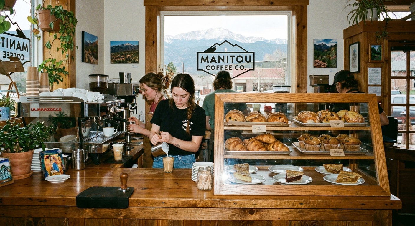
After the Barr Trail descent, I like to give my legs 10 minutes of easy walking through downtown Manitou Springs, then find coffee and something salty. It is a small-town basecamp vibe with just enough city comfort to feel like a reward.
However you do it, build in time to come down slowly, eat, and hydrate. The Incline is a braggy little beast, but the real win is finishing the day feeling good.