YARTS Bus to Yosemite Valley

Maya Lin
Maya Lin is a travel journalist and outdoor enthusiast who believes the best trips combine rugged adventures with urban comforts. After spending six years backpacking across four continents, she founded Trail & Town Guide to help fellow travelers navigate both hidden mountain passes and bustling city neighborhoods with confidence.
I love Yosemite. I just do not love the part where everyone else loves Yosemite at the exact same hour I do. If you have ever crawled toward the Valley behind a line of brake lights, you already understand why YARTS (the Yosemite Area Regional Transportation System) is such a gift. It lets you roll into Yosemite Valley without driving, without hunting for parking, and without baking your patience in summer traffic.
This page focuses on the regional YARTS routes that bring you into Yosemite Valley from Merced, Fresno, and the Highway 120 corridor, plus what happens next if your end goal is Happy Isles (the jumping-off point for the Mist Trail and several other classics).
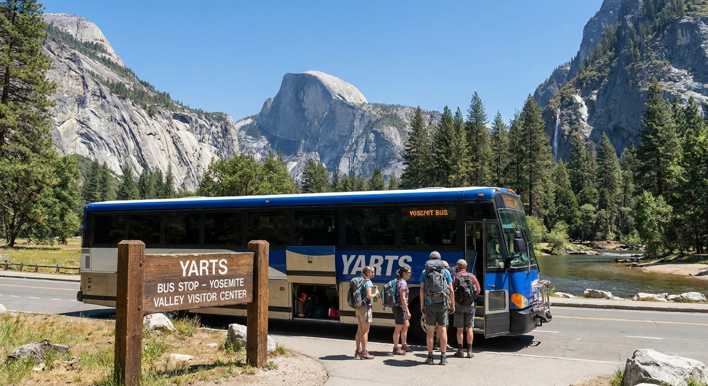
YARTS in one minute
- What it is: Public transit buses connecting gateway towns to Yosemite, including Yosemite Valley.
- Why it matters: You skip driving stress, cut congestion, and you can often avoid peak-hours vehicle reservation requirements when they are in effect (the reservation needed to drive your own vehicle into the park during certain dates and hours).
- Where you end up: At designated YARTS stops in Yosemite Valley, where you can connect to the free Yosemite Valley shuttles when they are operating.
- What you still pay for: Park entrance fees still apply (unless you already have a pass).
Before you go
These are the four checks that prevent 90 percent of Yosemite transit headaches:
- Confirm your YARTS route and day-of-week schedule on the official YARTS site. Service varies by season, and some runs only operate on certain days.
- Confirm Yosemite Valley shuttle status on the National Park Service Yosemite site. Shuttle routes, stop names, and hours can change by season, staffing, and conditions.
- Check the current reservation rules for your dates: Under Yosemite’s current peak-hours vehicle reservation program (when it is running), arriving by YARTS counts as transit and you typically do not need the reservation that applies to private vehicles. Programs and definitions can change season to season, so confirm on the NPS page for the dates you are visiting. Also note that this is separate from other permits (camping, wilderness, Half Dome).
- Identify the last bus out before you hike. Put that departure time in your phone and build your turnaround time around it.
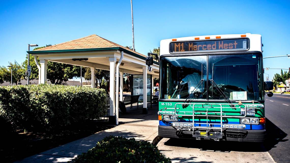
Route 1: Merced
If you are coming from the Bay Area, the Central Valley, or flying into the region and connecting by transit, Merced is the classic launch point. This route is generally associated with the Highway 140 corridor toward El Portal and into the Valley.
Season
This is usually the most transit-friendly corridor, often with the most consistent service across the year. Frequency still shifts seasonally, so confirm your exact departure time.
What to confirm
- Your exact boarding location in Merced (commonly the Merced Transit Center area).
- Which Yosemite Valley stop(s) your specific run serves. Many trips serve major hubs like the Visitor Center and sometimes Curry Village, but do not assume. Match it to the timetable for your run.
- The last return departure that day.
Road reality
Highway 140 is often a lower-elevation approach, which can make it less snow-prone than high-country corridors. It can still be affected by closures, construction, rockslides, or fire impacts, so check current conditions if your timing is tight.
Route 2: Fresno
Starting from Fresno makes sense if you are arriving through Fresno Yosemite International Airport or staying in the city the night before. You get urban conveniences, grocery options, and a real coffee scene, then you wake up and trade it for granite and pine.
Season
This route is often strongest during peak travel periods and may be more limited outside high season. It can be an excellent summer and shoulder-season option when it is running.
What to confirm
- Whether your run is advance-purchase, reservation-style, or allows same-day purchase. YARTS ticketing can vary by corridor, season, and demand, so treat the current corridor page as the authority.
- The in-Valley stop list for your specific bus. Many runs focus on the main visitor hubs, but your timetable is the authority.
- Return timing and the last bus out.

Route 3: Highway 120
If you are starting from the Highway 120 side, look for the YARTS route described by YARTS using its Highway 120 corridor naming. This is where people sometimes casually say “the Sonora route,” but the official labels and endpoints can vary by season and timetable. This corridor most deserves a quick verification before you build a whole trip around it, because the exact routing, boarding towns, and seasonal pattern can change.
Season
This route is more likely to be seasonal and shaped by demand and road conditions. If you are traveling outside summer, confirm it is operating on your dates and confirm where it actually starts and ends.
What to confirm
- The actual western boarding point listed for the season (it may be Sonora, a nearby town, or a corridor-based set of stops).
- Whether the run goes to Yosemite Valley or only to certain park stops.
- Service days and seasonal start and end dates.

Valley stops
YARTS does not stop at every trailhead. It drops riders at designated Yosemite Valley stops meant for visitor access and shuttle connections.
Common Valley stops you will see on many schedules include:
- Yosemite Valley Visitor Center area
- Yosemite Valley Lodge area
- Curry Village area
Important: Stop naming can differ between YARTS timetables and NPS shuttle maps. One may say “Visitor Center,” another may say “Yosemite Village,” and they can mean the same general hub. Use your route timetable to match the exact stop names for your bus, then cross-check the NPS shuttle map once you are in the Valley.
When you are choosing a run, prioritize two things:
- A stop that makes transferring easy for where you are going next (like Happy Isles).
- Your timing so you are not arriving at the Valley at the exact moment everyone else is trying to start hiking.
If you are not staying overnight, give yourself buffer time for bathrooms, water, and getting your bearings. Yosemite Valley is simple once you understand it, but it can feel chaotic during peak hours.
Getting to Happy Isles
Happy Isles can be confusing because people use the name for the area, the shuttle stop, and the trailhead zone. Here is the clean version that actually works in real life.
In most seasons, Happy Isles is a Yosemite Valley shuttle stop. On many NPS shuttle maps it is labeled as Stop 16, but stop numbers and route maps can change, and sometimes stops are temporarily out of service. Confirm the current label and whether the stop is in service on the latest NPS Yosemite Valley shuttle map for your travel dates.
How to do it
- Ride YARTS into Yosemite Valley and get off at a hub stop your run serves. For most people, the easiest hubs for a Happy Isles connection are the Visitor Center area or Curry Village.
- Transfer to the Yosemite Valley shuttle that serves Happy Isles. When the full system is operating, routes that commonly serve Happy Isles include the Valleywide Shuttle (often shown as the Green route) and the East Valley Shuttle (often shown as the Purple route). Names, colors, and patterns can change seasonally, so verify on posted signs and the current NPS map.
- Get off at Happy Isles and follow trail signage for the Mist Trail and the Happy Isles trailhead area.
Two practical transfer tips that save sanity:
- Curry Village is a great pivot point if your YARTS run serves it, because it is already on the east end of the core Valley loop. You are closer to Happy Isles than you would be from the Lodge area.
- The Visitor Center area works well if you want to use restrooms, fill bottles, orient yourself, and then hop on the shuttle system with a clear head.
If shuttles are not running
If Valley shuttles are not operating (or they are running so infrequently that you would rather keep moving), your simplest backup is walking from a Valley hub toward Happy Isles on Valley paths. From Curry Village, it is a straightforward walk to the trailhead area. From the Visitor Center area, it is longer, but still very doable if you have the time and daylight. Biking can also work if you have a bike with you, but do not base your whole day on bike rack luck. If you want a no-drama alternative, plan your day as walking-only from the start, or rent a bike in the Valley if rentals are available during your season.
If you are traveling early or late in the day, pay attention to shuttle operating hours and frequency. In the middle of the day, shuttles can fill. If one arrives packed, wait for the next instead of wedging in with a full hiking pack.
If it is packed
Here is the good news: if you arrive by YARTS, trailhead parking being full is not the emergency it is for drivers. You are not trying to wedge a car into a lot. You are simply trying to get yourself to Happy Isles and onto the trail.
That said, a slammed trailhead zone usually signals something else: the corridor is busy. If you step off the bus late morning on a sunny weekend, you may find long shuttle lines, crowded trail starts, and slow-moving foot traffic.
What to do
- Commit to the shuttle, not the parking lot. Ignore lot drama and focus on getting on the right shuttle in the right direction.
- Build a Plan B from shuttle stops. If Happy Isles feels overloaded, pivot to another Valley walk or hike that disperses people differently. You can still have an excellent day without forcing one specific trail at one specific hour.
- Start with food, then hike. If the line is long, eat, refill water, and let the midday rush thin. Late afternoon starts can be calmer, especially on hot days when many hikers quit early.
- Adjust your pace expectations. On popular trails, the limiting factor becomes people, not fitness. Plan extra time for narrow sections.
If your goal is the Mist Trail experience, arriving by bus can still be a win. You may trade early solitude for zero parking stress, and on peak days that is a fair trade.
Tickets and bags
Tickets
YARTS tickets are typically purchased online or through approved methods depending on corridor and season. On some dates, demand can be high and advance purchase can matter. Treat it like a popular trailhead start time: buy ahead when you can, especially in peak season.
Before you leave your hotel, confirm what the driver will accept for your run (for example, mobile ticket or printed proof). Rules can vary by corridor and season, and it is a painful surprise at 6 a.m.
Boarding
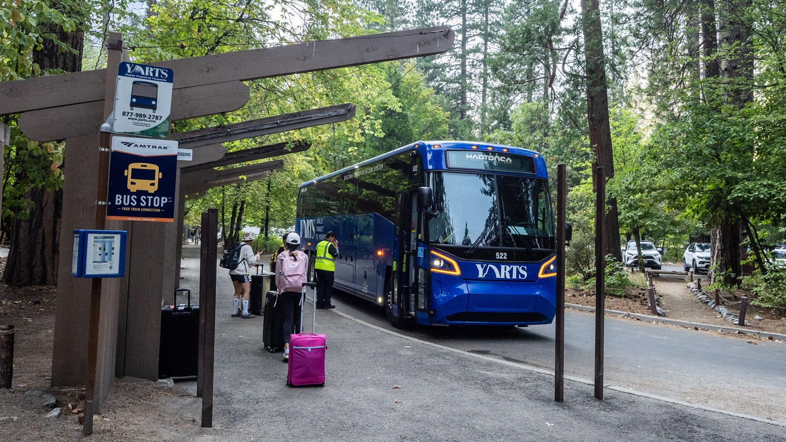
- Arrive early so you are not sprinting with a backpack.
- Have your ticket ready and keep ID accessible if your run requires it.
- Pack like a bus rider. Smaller is smoother. My carry-on-only brain loves this part.
Bags and bikes
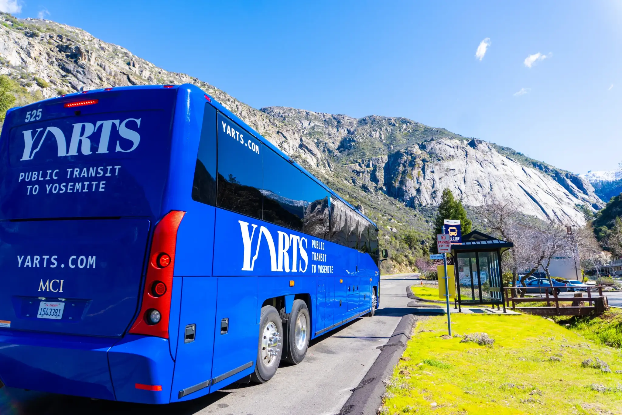
YARTS baggage rules can change by season and corridor, so check the current YARTS baggage policy before you pack. As a practical baseline, many intercity-style bus runs allow a couple of stowed items plus a personal bag, but do not treat any specific number as guaranteed without checking your corridor’s current rules.
Bike capacity is limited and depends on the bus and corridor. If your entire plan depends on bringing a bike into the park, build a backup option in case racks are full or bikes are not accepted on your run.
What to pack for the ride
- Water you can drink on the bus, plus a refill plan once you arrive
- Layers, since mornings can be cool and afternoons can be surprisingly hot
- Snacks that do not melt or explode
- A daypack that fits comfortably at your feet or in overhead storage if available
Timing
If you are hiking from Happy Isles, the single biggest lever you control is what time you enter Yosemite Valley. Earlier arrivals generally mean:
- Shorter shuttle lines
- Cooler temperatures on the first climb
- A calmer trailhead scene
If your schedule forces a later arrival, you can still have a great day. Just treat Yosemite like a city neighborhood at rush hour: move with intention, be flexible, and take breaks where the crowds thin.
One more time for the planners: set your hike turnaround time based on the last bus out, not based on how good you feel at the top of the climb.
Mist Trail notes
Because Happy Isles is the front door for the Mist Trail, do yourself a favor and check NPS trail conditions before you commit. The Mist Trail can be seasonally affected by:
- Wet, slippery steps and heavy spray near Vernal Fall
- Rockfall risk and temporary closures
- Traffic controls or detours in peak season
If you are daydreaming beyond Vernal Fall, remember that Half Dome requires a permit. That is a different plan than a casual Mist Trail morning.
FAQ
Does YARTS go to Happy Isles?
YARTS brings you into Yosemite Valley at designated stops. From there, you use the free Valley shuttles (when operating, and when the Happy Isles stop is in service) to reach Happy Isles, which is the standard drop for the Mist Trail and the Happy Isles trailhead area.
Do I need a timed-entry vehicle reservation if I arrive by YARTS?
Under Yosemite’s current peak-hours vehicle reservation program (when it is running), arriving by YARTS typically counts as arriving by transit and you typically do not need the reservation that applies to private vehicles. You still pay the park entrance fee (or use your pass) and follow park rules that apply to everyone. Always confirm the rules for your dates on the NPS site because details can change year to year. Other permits (camping, wilderness, Half Dome) are separate.
Which is better: Merced, Fresno, or Highway 120?
Merced is often the simplest transit gateway with strong connectivity. Fresno is great if you are flying in or starting from the city. The Highway 120 corridor can be a good fit if you are coming from that side, but it is the most important one to verify for seasonal routing and endpoints.
What if the shuttle line is huge?
Wait for the next shuttle rather than forcing it. Use the time to top off water, eat something, and confirm you are boarding a route that lists Happy Isles on its stop list or map. When the system is fully running, that is often the Valleywide Shuttle (Green) or the East Valley Shuttle (Purple), but always trust the current NPS map and posted stop signs over memory.
What if I miss my bus out of Yosemite?
Have a backup plan before you hike: know your last bus time, set an alarm, and plan your turnaround time accordingly. Yosemite days have a way of expanding.