Snow Lake from Alpental (Snoqualmie Pass)

Maya Lin
Maya Lin is a travel journalist and outdoor enthusiast who believes the best trips combine rugged adventures with urban comforts. After spending six years backpacking across four continents, she founded Trail & Town Guide to help fellow travelers navigate both hidden mountain passes and bustling city neighborhoods with confidence.
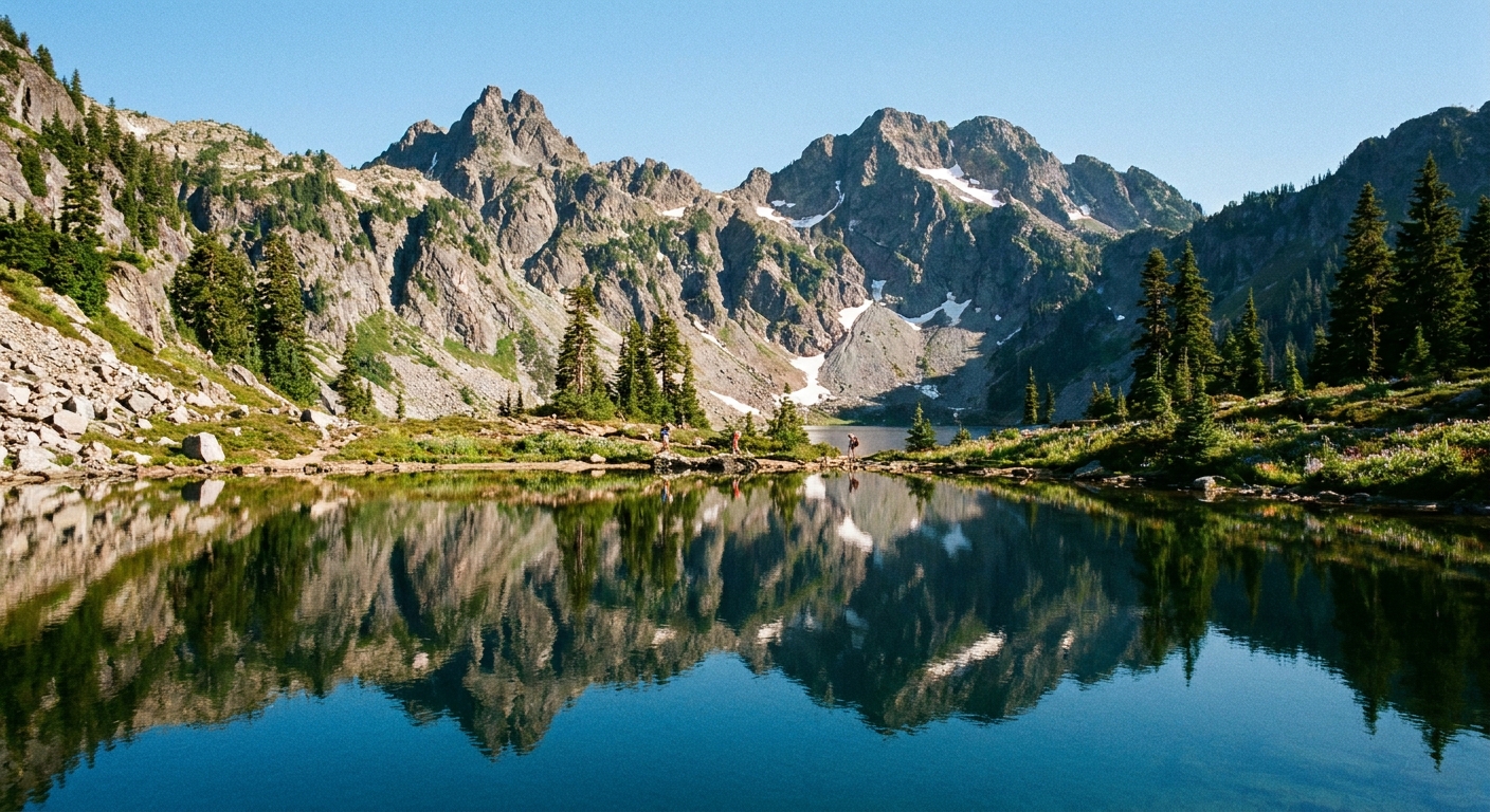
First things first: this Snow Lake is not the Snow Lakes zone in the Enchantments above Leavenworth. Different side of the Cascades, different trailhead, and a totally different vibe. This Snow Lake sits above Alpental at Snoqualmie Pass, and it delivers that classic I-90 payoff: you start in deep forest, climb into open granite bowls, then land at a high lake that looks way more remote than the drive suggests.
If you arrive and the parking situation is a mess, I have a solid turnaround plan below so you can still salvage a good day outside. Same thing if you run into a snowfield that feels too firm to cross safely.
Quick stats
- Trailhead: Alpental (Snoqualmie Pass area)
- Distance: most commonly reported at about 7 miles round trip, with real-world variation (roughly 6.5–7.5 miles) depending on where you park and how much you wander at the lake
- Elevation gain: most commonly reported at about 2,000 feet, with variation (roughly 1,900–2,200 feet) depending on your exact line and where you start
- Difficulty: moderate to strenuous, mostly because the climb is steady and can feel relentless on warm days
- Best season: mid-summer through fall for snow-free travel; early season can involve steep snow travel
- Dogs: dogs are typically allowed on leash on this route, but always follow posted signs and current rules at the trailhead and along the way
Those numbers are intentionally a range. Between parking variability, minor reroutes, and how people meander around the basin, this hike is not a single, perfectly fixed set of stats.
Know before you go
- Where to navigate: navigate to Alpental (Snoqualmie Pass area), then follow signs for the Alpental base area and trail access
- Typical time: roughly 3–6 hours round trip, depending on pace, breaks, and snow conditions
- Trail surface: forest dirt and roots early, then rockier as you climb; expect plenty of uneven footing
- Cell service: treat it as unreliable once you are up the valley; download an offline map before you start
- Water: there is water in the basin, but plan to treat or filter anything you collect
Permits: for a typical day hike, you generally do not need an advance hiking permit for this area, but rules can change. Parking is separate. You may need to pay a fee or display a pass depending on the specific lot. Always check current guidance for Snoqualmie Pass and Alpental, and follow posted signs at the trailhead and in the lot where you park.
Parking and passes
Parking is often the hardest part of this hike.
- Where you park: most people park in or near the Alpental base area, then walk to the signed trail access
- Important reality: not every lot is the same. Some resort-adjacent lots can restrict non-ski use or change rules with operations and special events. Park only where signage explicitly allows trailhead or day-use parking.
- Passes and fees: requirements can vary by lot and season and can change. Follow the posted instructions for the lot you are in.
- Arrive early: on summer weekends, early means genuinely early. If you want a simpler start, aim for a weekday or a shoulder-season morning.
- Restrooms: do not build your plan around a convenient, open restroom right where you want it. Take care of business before you arrive, and be self-sufficient.
Turnaround if parking is full
If you pull in and it is packed, do not stress. Do not drive in circles until you are grumpy. My go-to Plan B is:
- Option 1: Pivot to a nearby hike with more forgiving parking, then come back for Snow Lake on a weekday or shoulder-season day. If you want easy logistics, check conditions and parking notes for Franklin Falls or Gold Creek Pond before you commit.
- Option 2: Make it a low-commitment Snoqualmie Pass day instead. Pick a short stroll where turning around is easy, keep it mellow, then do lunch or coffee afterward.
The key is keeping your day fun instead of turning it into a parking rage spiral.
The route
From the Alpental trail access, you head in on a well-traveled path that stays forested at first. You gain elevation steadily, and you will notice the terrain underfoot getting rockier as you climb.
Source Lake junction
You will come to the Source Lake junction, and this is the moment where a lot of people pause, check a map, and silently negotiate with their calves.
- Source Lake is a worthy destination on its own, especially if you want a shorter day, or you are hiking with kids who are still learning what uphill for hours feels like.
- For Snow Lake, you continue toward the higher basin. Navigation can be surprisingly tricky here depending on conditions, boot paths, and seasonal reroutes, so use an offline map and do not assume signage will do all the work.
Forest to granite bowl
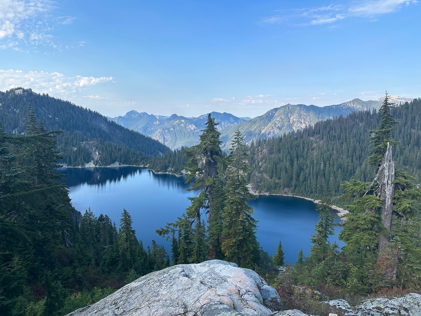
Above the junction, the scenery shifts in a way I love: dark evergreens give way to open slopes, rock slabs, and those little pockets where late-season snow likes to hide. The last stretch tends to feel the steepest, partly because you can sense the lake is close, and partly because gravity has a sense of humor.
One practical cue for staying oriented: once you are above the junction, the boot paths can split and braid. If you lose the obvious tread, pause and re-check your map rather than charging uphill on the most beaten-looking line. In low visibility or lingering snow, it is easy to drift into steeper terrain than you planned.
Later in summer, the open granite can also mean more sun exposure and heat than you expect. If it is a warm day, pace yourself, drink early, and take shade breaks when you can find them.
Arriving at Snow Lake
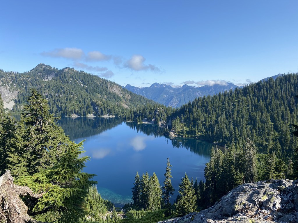
Snow Lake sits in a rugged basin, and depending on the time of year, you might see lingering snow on the surrounding slopes well into summer. It is a great place to take a long break, filter water, and wander along the shore to find a quieter perch away from the first cluster of arrivals.
One quick heads-up for the way down: the descent can feel slippery and awkward on tired legs, especially through roots, loose rock, and dusty late-season sections. Save a little focus for the return.
Optional: Gem Lake
If you still have energy and daylight, you can continue on toward Gem Lake. Think of this as the add-on that turns a satisfying hike into a full day in the alpine.
- Why go: fewer people tend to push beyond Snow Lake, and the higher you go, the bigger and rockier the views get.
- What changes: the route can feel more exposed and more boot path than trail in places, and early-season snow can be a real factor.
- Extra effort: plan on roughly 3.5–4 miles round trip from Snow Lake, plus about 700–900 feet of additional gain, depending on your line and conditions.
I like treating Snow Lake as my guaranteed win, then making a calm call on Gem Lake once I am eating a snack with the water in view.
When to turn around
Because of the elevation and the basin shape, snow can linger late, and it can be deceptively firm in the morning.
Too firm snow
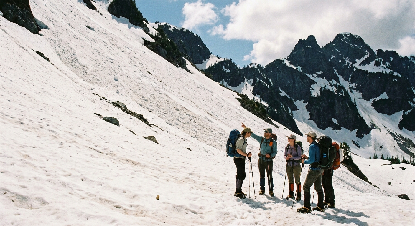
Here is my personal rule: if you are stepping onto a steep snowfield and you do not have the traction and the skills to arrest a slide, it is not worth it.
- If you see a hard, slick surface with a runout that ends in rocks, a creek, or a steep drop, that is a turnaround.
- If you are already slipping in microspikes, or you do not have them at all, that is a turnaround.
- If you cannot clearly see where the summer trail continues and the area is steep, that is a turnaround.
One extra safety note: microspikes are not a substitute for an ice axe and the training to use it on steep, firm snow. This is one of those Snoqualmie Pass hikes where a perfect sunny day at the trailhead can still mean alpine snow travel up high. Do not let blue sky talk you into a bad decision.
Other curveballs
- Wildfire smoke: late summer can bring smoky days. If the air looks bad at the pass, it will not magically improve higher up.
- Bugs: mosquito pressure can spike around meltout. Pack repellent if you are heading up mid-summer.
- Creeks: expect wet spots and seasonal trickles. After heavy rain or during peak melt, treat any fast water with respect and do not force sketchy crossings.
What to bring
I am a carry-on only traveler, and I pack for day hikes the same way: light, intentional, and ready for surprises.
- Navigation: offline map on your phone plus a backup plan
- Layers: a warm layer even if the pass is hot
- Rain shell: mountain weather does what it wants
- Food and water: more than you think you need, plus a way to treat water
- Sun protection: sunglasses and sunscreen, especially if snow is present
- Traction: if there is any chance of snow, pack microspikes and know how to use them
- Trekking poles: optional, but my knees vote yes on the descent
Trail etiquette
This basin gets loved hard in peak season. A little care goes a long way.
- Stay on durable surfaces near the lake, especially where vegetation is fragile. If you want to stop, sit on rock, gravel, or established bare spots instead of stomping a new lounge into the shoreline plants.
- Pack out everything, including snack scraps.
- Give people space at the shoreline. A quiet moment is part of the magic here.
- Respect wildlife and do not feed anything, even the cute opportunists.
End the day
This is the kind of hike that pairs perfectly with a warm drink and a real meal afterward. Snoqualmie Pass makes it easy to do the rugged part first, then slide back into civilization without a huge drive. If you have the time, build in a slow finish: change into clean layers in the car, stretch, then reward yourself somewhere nearby on the corridor.
FAQ
Is this the Snow Lake in the Enchantments?
No. The Enchantments Snow Lakes are near Leavenworth and tied to the Enchantments permit zones. This Snow Lake is accessed from Alpental at Snoqualmie Pass.
How hard is Snow Lake from Alpental?
Moderate to strenuous. The elevation gain is steady and the last part can feel steep. If you want a shorter option, Source Lake is a great alternative.
Can I keep going to Gem Lake?
Yes, conditions dependent. Treat Gem Lake as an optional extension and turn around if the terrain is snowy, unclear, or more exposed than you are comfortable with.
Do I need a parking pass?
Maybe. Parking rules can vary by lot and season and can change. Park only where signs allow trailhead or day-use parking, then follow the posted payment and pass instructions for that specific lot.
Are dogs allowed?
Usually yes on leash, but treat this as a confirm-at-the-trailhead item. If signage or seasonal rules say otherwise, follow that.
What is the best turnaround if something goes sideways?
If parking is full, pivot to a nearby hike with easier logistics and save Snow Lake for an off-peak day. If the snow is too firm or steep for your traction and skills, turn around at or before the Source Lake junction area and enjoy a safer, shorter outing.