Icicle Road Washouts: How Far You Can Drive

Maya Lin
Maya Lin is a travel journalist and outdoor enthusiast who believes the best trips combine rugged adventures with urban comforts. After spending six years backpacking across four continents, she founded Trail & Town Guide to help fellow travelers navigate both hidden mountain passes and bustling city neighborhoods with confidence.
Icicle Road looks simple on a map: one canyon road leading from Leavenworth into trailhead country. In real life, it is a road that often gets humbled by water, snow, and freeze-thaw. I have watched confident sunrise plans unravel at a closure gate, and I have also had days where the pavement was bone-dry all the way to the end with a line of Subarus rolling in like clockwork.
If your goal is Stuart Lake, Eightmile, or Snow Creek, your big question is not “How hard is the hike?” but “Can I even drive to the trailhead today?” This page is about that access piece: the seasonal patterns, the most common washout and closure scenarios, and what to do when Icicle Canyon stops short of your plan.
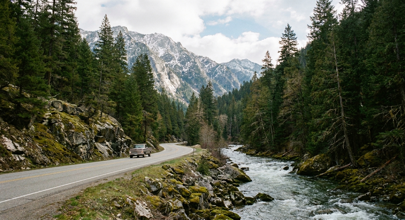
Quick answer: trailheads on Icicle Road
First, a reality check that saves a lot of confusion at 5 am: Snow Creek Trailhead is on Icicle Road. It is much lower in the canyon than the Eightmile and Stuart Lake turnoffs, which is why it often stays accessible when the upper canyon has problems.
- Snow Creek Trailhead: On Icicle Road a few miles up from US 2 and Leavenworth. If there is an upper-canyon washout, Snow Creek is often still reachable simply because it sits below the damage.
- Eightmile Trailhead: Accessed via Icicle Road, then up Eightmile Road to the trailhead area.
- Stuart Lake Trailhead: Accessed via Icicle Road, then up the Forest Service spur often labeled as Stuart Lake Road. This is the classic gateway for Colchuck Lake and Stuart Lake.
So if you are specifically worried about “Icicle Road washouts,” the impact depends on where the closure is. A lower-canyon closure can block everything. An upper-canyon closure can still leave Snow Creek in play.
What “washout” usually means
People use “washout” as a catch-all, but the cause matters because it changes how long access is impacted and how likely detours are.
- Flood damage: Heavy rain, rain-on-snow events, and spring runoff can undercut shoulders, clog culverts, or dump debris on the roadway. This is when you will see hard closures and repair crews.
- Rockfall and slope failures: Icicle Canyon is steep. Rockfall can trigger temporary closures while crews clear and assess.
- Snow and ice: Plowing priority is not the same as “trailhead is open,” and shaded canyon corners can stay icy long after Leavenworth is in T-shirts.
- Construction or maintenance closures: Less dramatic than a washout, but just as trip-altering if there is a daytime closure window, single-lane traffic control, or a short work zone.
In practice, the most common outcome for hikers is one of these: the road is fully open, the road is open only to a certain point, or the road is open but a spur road to a specific trailhead is the limiting factor.
Seasonal patterns
Winter (late November through March)
Expect winter driving conditions in the canyon. Even if Icicle Road is passable, the spur roads to higher trailheads can be snowed in or icy, and parking lots may not be plowed. The result is often “open road, inaccessible trailhead,” especially early morning.
Spring (April through June)
This is when you get the most unpredictability: meltwater, saturated slopes, and the occasional storm cycle. If there is going to be a washout year, spring is usually when it announces itself.
Summer (July through September)
This is the most reliable window for full access. You can still see short-term closures from construction, wildfire response, or isolated rockfall, but day-to-day access is typically best.
Fall (October through mid November)
Often stable and gorgeous, but pay attention after the first big storms. One rain-on-snow event can do more damage than a month of steady drizzle.
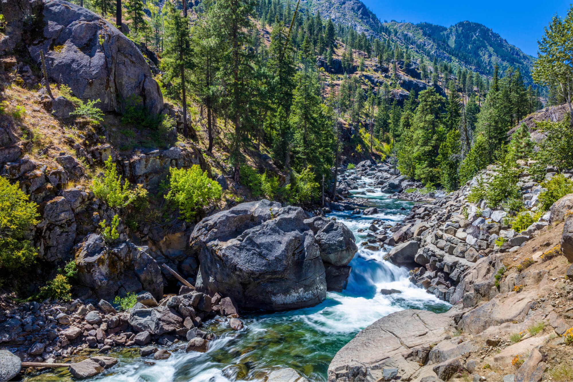
How far can you drive?
Because closure points move, the most honest way to answer “how far can I drive?” is by scenario. Here is how it tends to play out on the ground.
Scenario 1: Icicle Road is fully open
When Icicle Road is fully open and the spur roads are in good shape, you can usually reach:
- Snow Creek Trailhead directly off Icicle Road
- Stuart Lake Trailhead via the Stuart Lake Road spur
- Eightmile Trailhead via Eightmile Road
Even on a fully open day, plan for slow driving once you leave the main canyon road and head up spur roads. They are narrower, can be rough in spots, and can have potholes or washboarding.
Scenario 2: Icicle Road is open, but a spur road is the problem
This one is sneaky because you can drive deep into the canyon and still lose your trailhead access near the end.
- Stuart Lake: A washout or downed trees on the spur road can block access even if Icicle Road itself is fine. In that case you may be stopped at a barrier before the parking lot.
- Eightmile: Similar story. Eightmile Road can be the limiting factor, especially after storms.
Snow Creek is less likely to be affected by spur-road issues because it sits right off the main road, but it can still be impacted by localized hazards or work in the lower canyon.
If you see notes like “trailhead road closed” rather than “Icicle Road closed,” this is usually what is happening.
Scenario 3: Icicle Road is closed at a gate
If Icicle Road is closed partway up the canyon, what you can reach depends entirely on where the closure is. Gate locations can change, and notices are sometimes referenced by a junction, a campground, or a milepoint.
- If the closure is above Snow Creek, you may still be able to hike Snow Creek, but you will not be able to drive to Eightmile or Stuart Lake.
- If the closure is below Snow Creek, assume you cannot reach any of these trailheads by vehicle.
When this happens, the closure is typically a hard stop with signage and often no safe shoulder parking nearby.
This is when you pivot: you either choose a hike that does not require driving farther, or you accept a longer approach (on foot or bike) only if it is legal, safe, and realistic for your group.
Trailhead access details
Stuart Lake Trailhead
Access depends on two things: Icicle Road being open far enough up-canyon, and the Stuart Lake Road spur being open and passable.
- If both are open, you can drive to the trailhead parking.
- If Icicle Road is open but the spur road is closed, you will be forced to stop short and decide whether an added road walk is worth it.
- If Icicle Road is closed lower in the canyon, assume you cannot drive anywhere close to the trailhead.
My practical rule: If you are aiming for an ambitious day like Colchuck Lake or anything Enchantments-adjacent, do not count on a surprise road walk. The elevation and mileage add up quickly, and those extra road miles are the least scenic part of the day.
Eightmile Trailhead
Eightmile is often a little less talked about than Stuart Lake, but access follows the same logic.
- If Icicle Road is open and Eightmile Road is clear, you can drive to the Eightmile trailhead area.
- If Icicle Road is open but Eightmile Road is closed or damaged, your vehicle access ends early.
- If Icicle Road is closed lower in the canyon, vehicle access is effectively cut off.
Because Eightmile Road conditions can change after storms, it is smart to be conservative if you are in a low-clearance car, especially early season.
Snow Creek Trailhead
Snow Creek Trailhead is on Icicle Road, low in the canyon. That location is exactly why it is one of my favorite backup options when the upper canyon is a question mark. Not because it is easy, but because the access is often more reliable when closures are higher up.
That said, a closure anywhere below the trailhead, active work zones, fire response, or a major event in town can still complicate access. Always check for current restrictions and parking limitations before you commit.
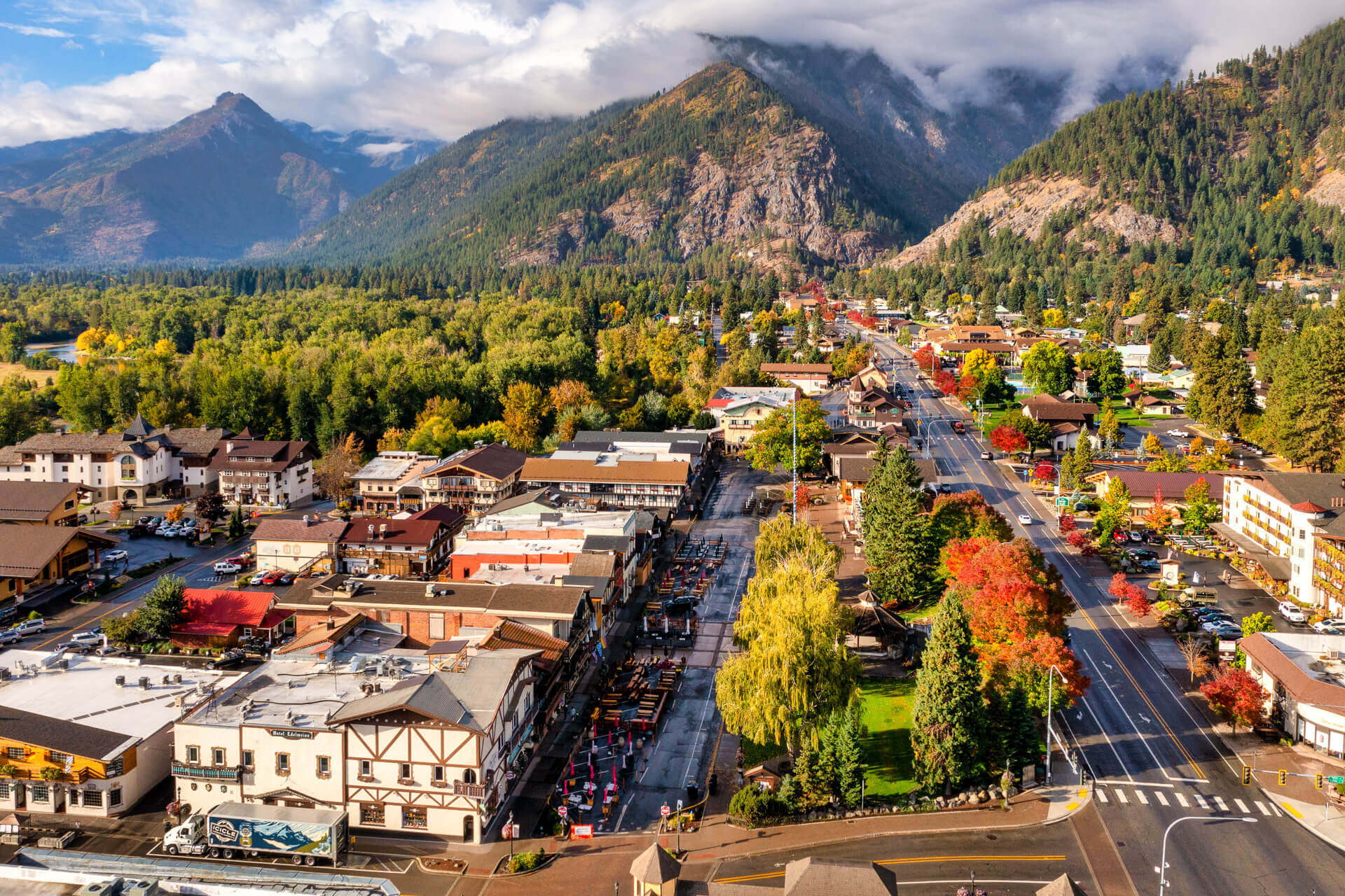
When the road stops short
If you pull up to a closure gate or a signed washout point, you have a few realistic options. The best choice depends on daylight, weather, and how committed your group is to a long day.
1) Do not park illegally
This is the fastest way to turn a tough day into an expensive one. Icicle Canyon has narrow shoulders, emergency access needs, and active work zones when repairs are underway. If there is not a clear, legal place to park, do not create one.
2) Pivot to a hike that matches your access
If Icicle Road is closed lower than expected, you can still salvage your day by choosing a trail that starts before the closure, or by shifting to a Leavenworth-area hike that does not depend on the upper canyon.
When I have to pivot, I like to keep it simple and close. A few ideas that can work well when you cannot get deep into Icicle are Snow Creek (if you can still reach the trailhead), Icicle Gorge (lower canyon), or a waterfront walk and bouldering day in the lower valley if conditions are messy up high.
I always keep a “Plan B” list in my notes app for this exact reason. The win is not forcing the original itinerary. The win is getting outside safely.
3) Consider a road approach only if it is allowed
Sometimes the road is closed to vehicles but open to foot or bike traffic. Sometimes it is closed to everyone because it is unstable or because crews are working. Do not assume.
- Look for posted signs that specify whether pedestrian or bicycle access is permitted.
- If there is active equipment or repair work, do not enter the closed area.
- Be honest about the mileage you are adding. A few miles each way can be manageable. Ten extra miles plus a big mountain day is a different sport.
4) Build a buffer day
This is my favorite low-stress strategy for Enchantments season: if the whole trip hinges on reaching Stuart Lake or Eightmile, I plan an extra day in Leavenworth. If the road is washed out or under repair, you are not forced into a single make-or-break morning.
How to check conditions
Because Icicle Road conditions can change quickly, rely on official and near-real-time sources the day before and the morning of.
- US Forest Service (Okanogan-Wenatchee National Forest) road and closure updates, especially the Wenatchee River Ranger District alerts that cover the Icicle Creek area
- Washington State Department of Transportation for highway conditions getting to Leavenworth and major incident alerts
- Forest alerts for construction, fire restrictions, and temporary closures
- Recent trip reports can be helpful context, but treat them as secondary. Conditions can change between someone’s Saturday hike and your Tuesday start.
If two sources disagree, I default to the most conservative interpretation, especially during spring runoff and after storms.
One more practical detail: check pass requirements for your trailhead before you go. Many trailheads in this area require a Northwest Forest Pass or other posted permit, and parking enforcement tends to be most consistent on the most popular weekends.
Access tips
- Start earlier than you think: Even with open roads, parking fills fast during peak hiking season.
- Fuel up in town: Do not assume you will find services up-canyon.
- Bring offline navigation: Cell service can be inconsistent in the canyon.
- Pack for waiting: A thermos of coffee and a warm layer makes a surprise closure pivot much less dramatic.
- Respect the closure: Washout zones can be unstable long after the initial event.
FAQ
Is Icicle Road paved all the way?
The main Icicle Road corridor is paved for most of its length. Conditions still vary by season and repairs, and the spur roads to specific trailheads are often narrower and rougher. If your plan depends on a spur road, assume it can feel very different than the main canyon road.
If Icicle Road is closed, can I still hike Snow Creek?
Sometimes, yes. Snow Creek Trailhead is on Icicle Road, but it is low in the canyon. If a closure is higher up, Snow Creek may still be accessible. If a closure is below the trailhead, then no. Check the posted closure location and do not guess.
Can I reach Stuart Lake and Eightmile in a low-clearance car?
When roads are fully open and in good condition, many standard cars make it. But after storms, during shoulder seasons, or if maintenance is delayed, spur roads can get rough. If you drive low clearance, have a backup hike ready and avoid pushing past obvious road damage.
What if I already have a trail plan and the road is closed that morning?
Pivot early. Turnaround time matters in the Cascades, and the safest call is often to swap to a closer trail rather than adding unknown road mileage. If you are determined to attempt a road approach on foot or bike, only do it if signage explicitly allows it and conditions are safe.